


Time discovered through space.
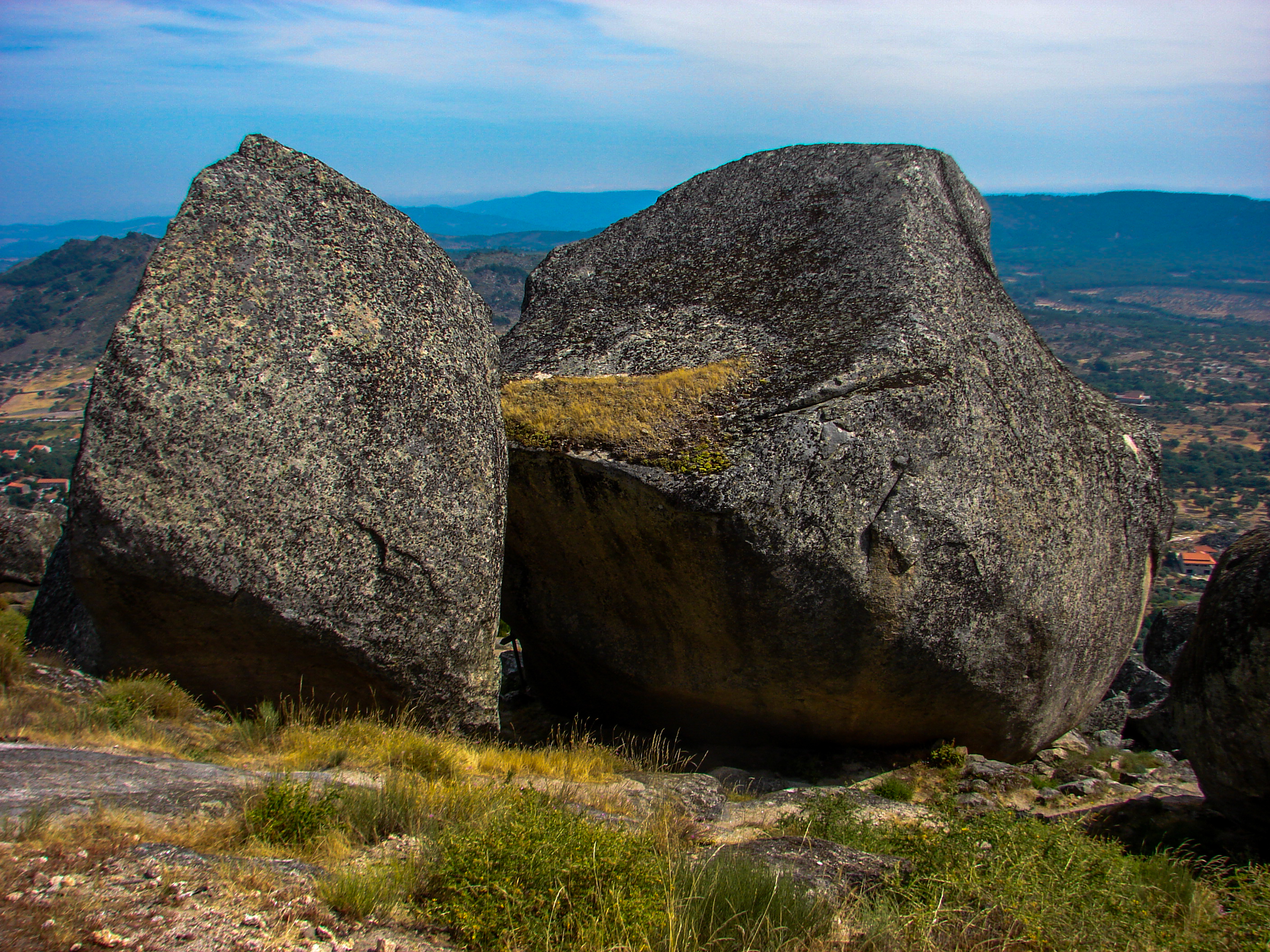
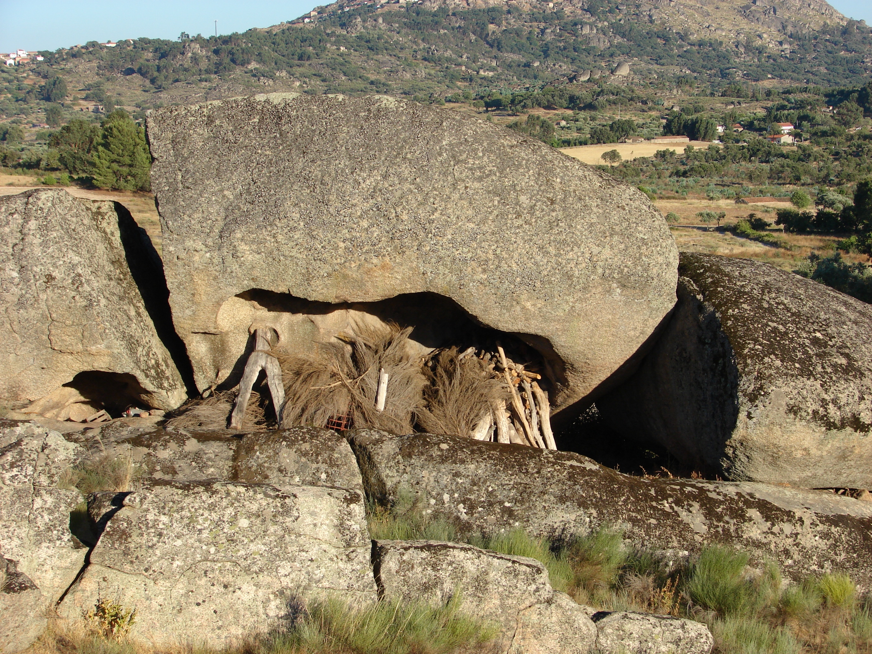
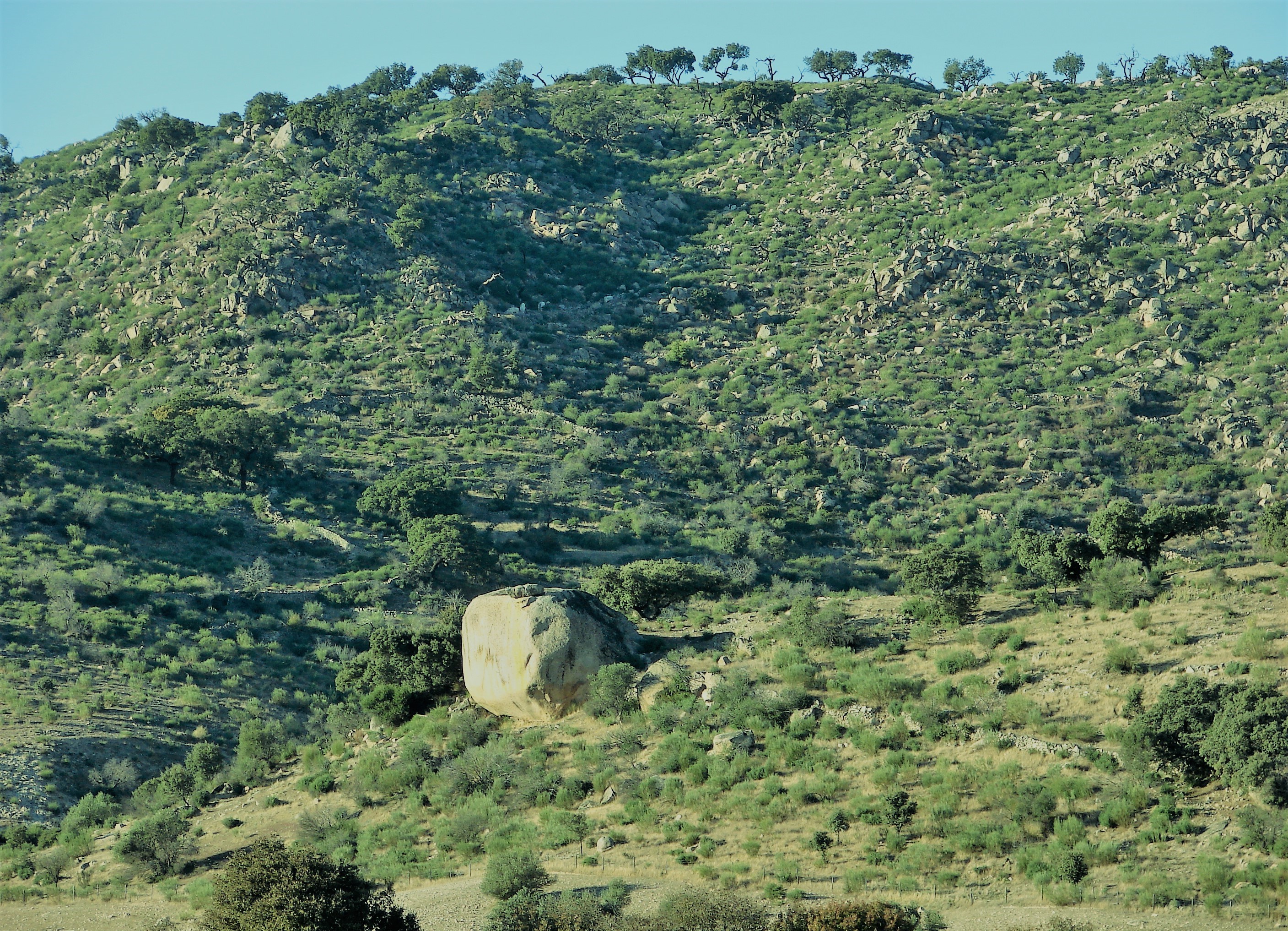
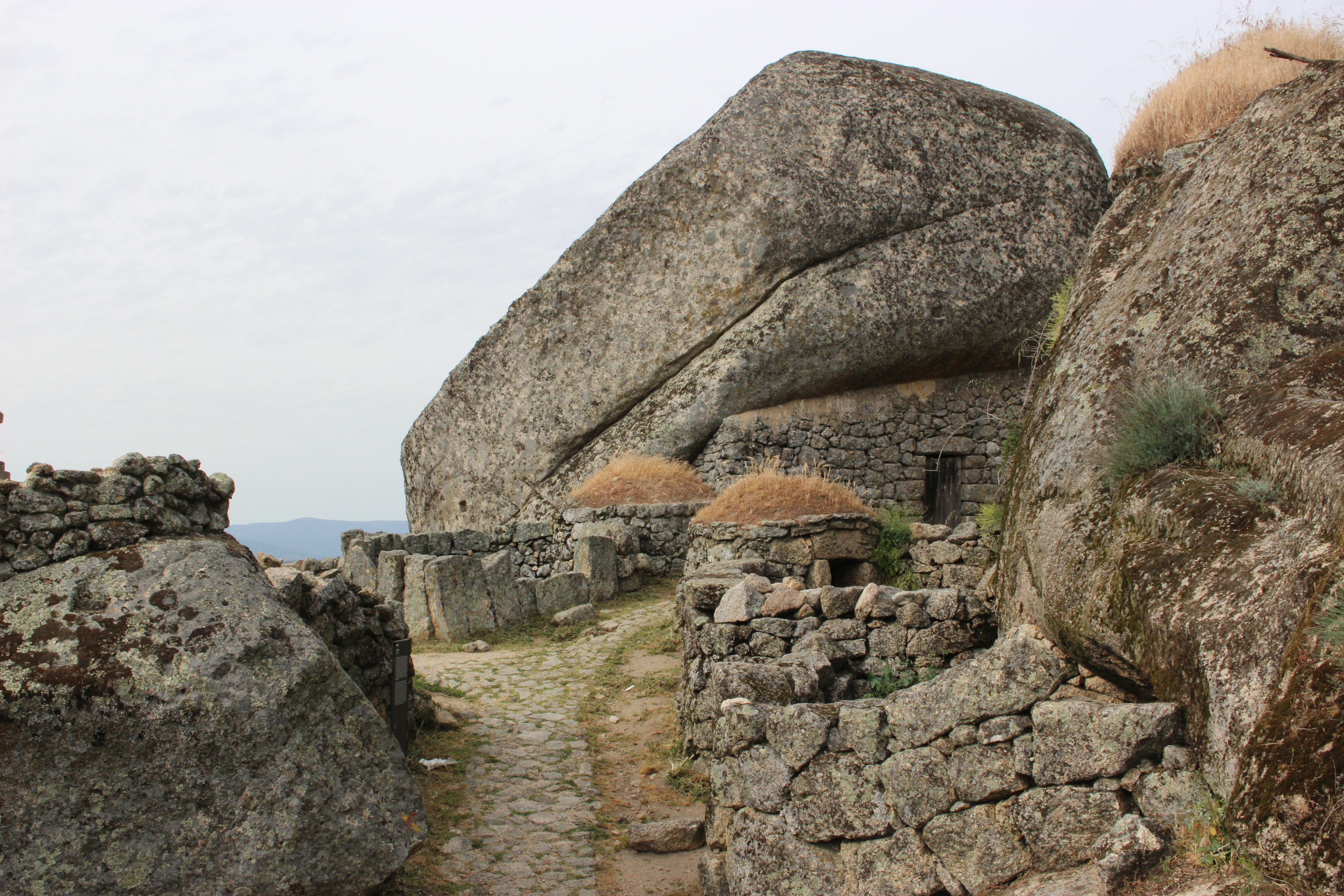
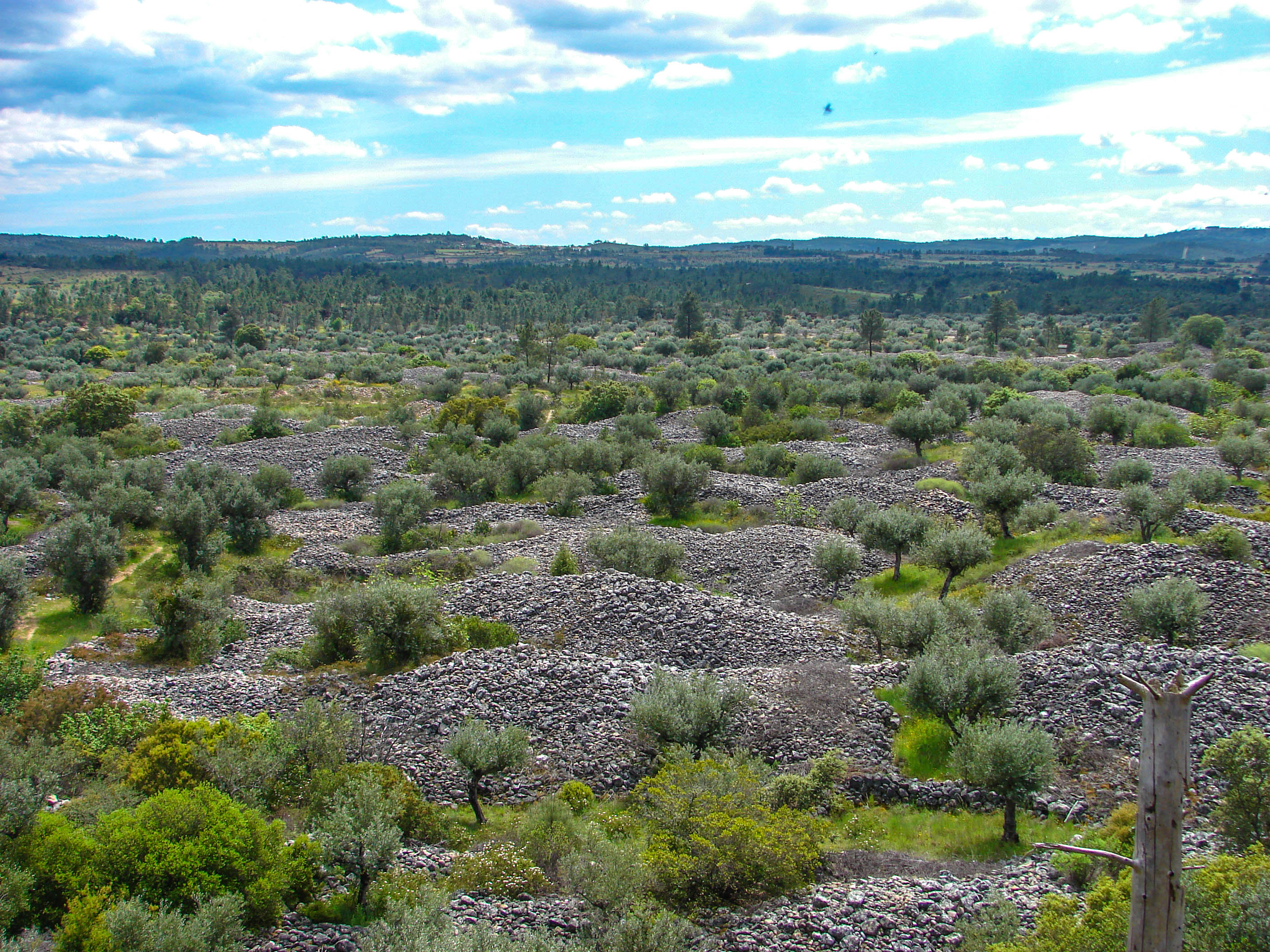
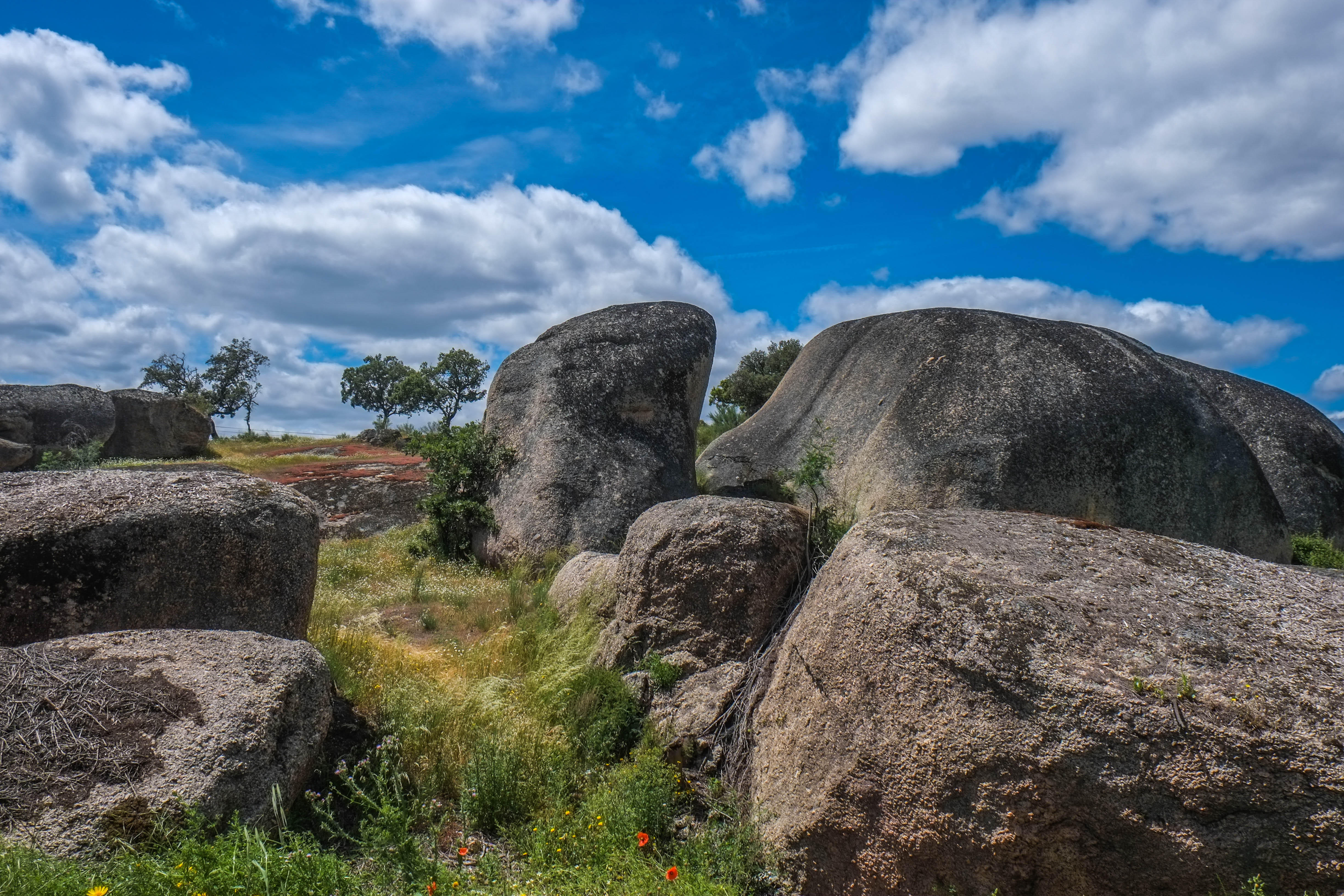
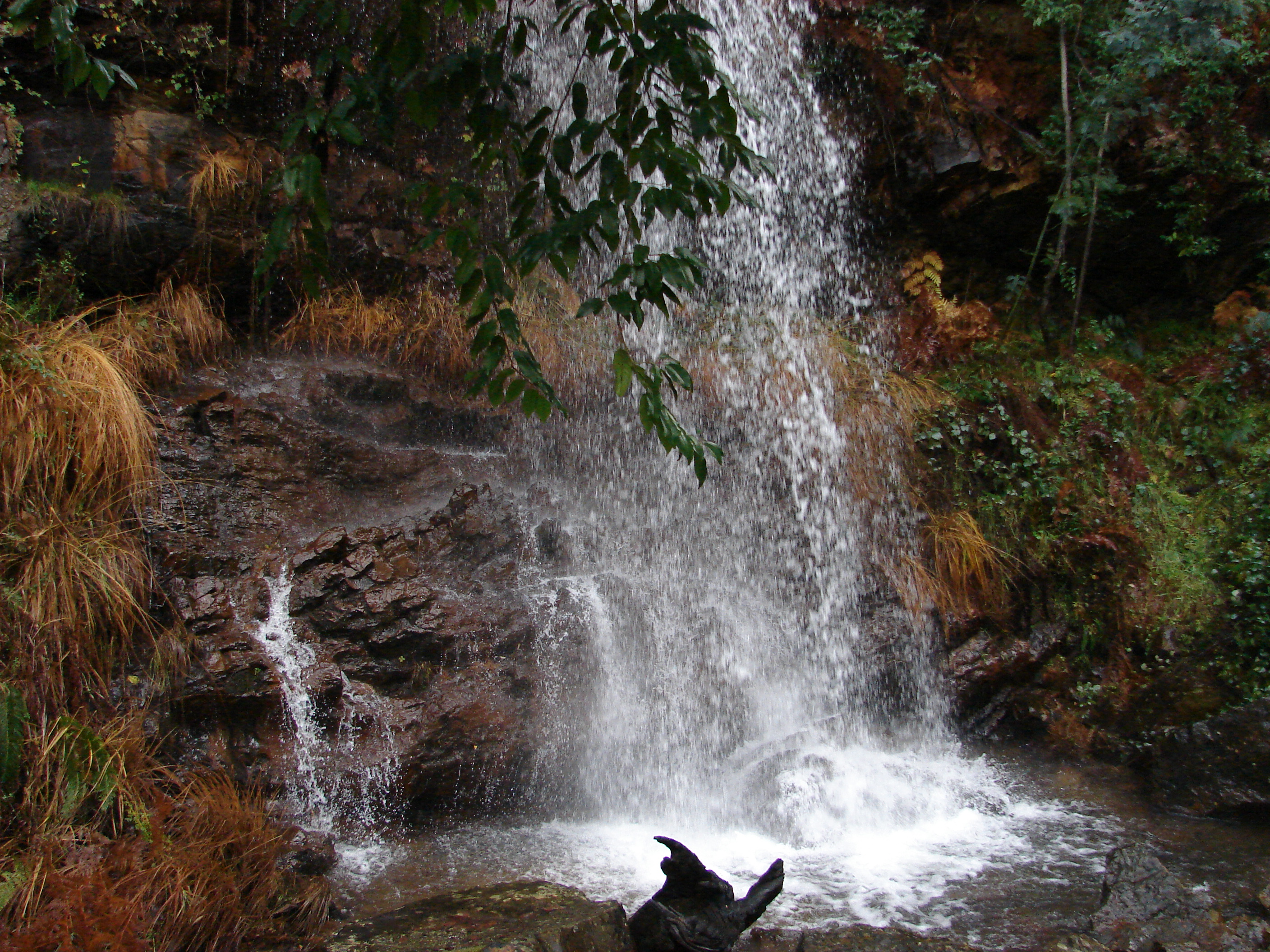
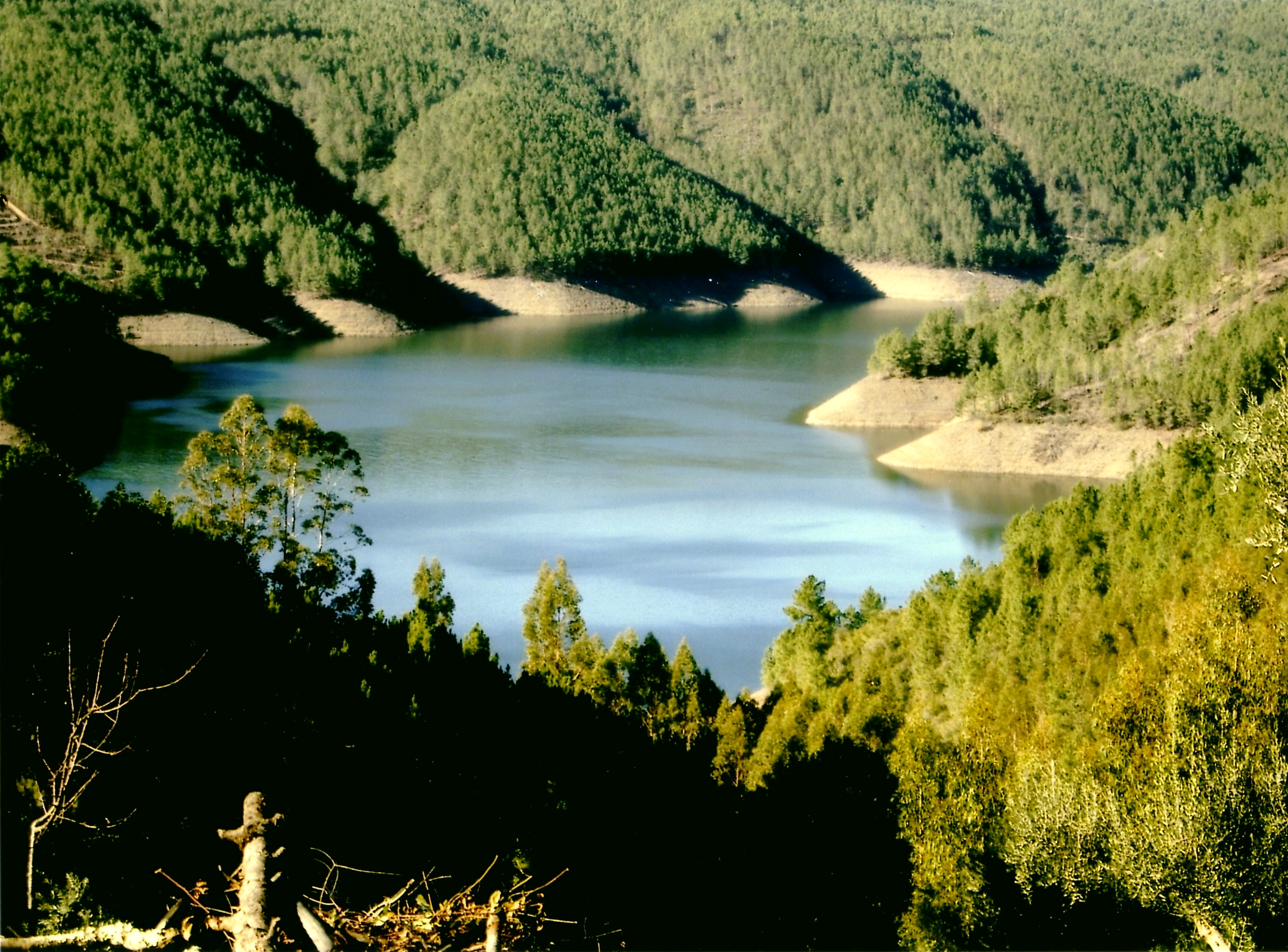
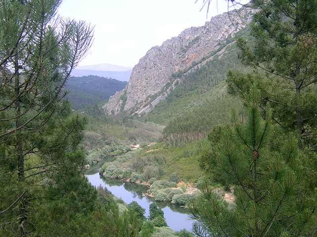
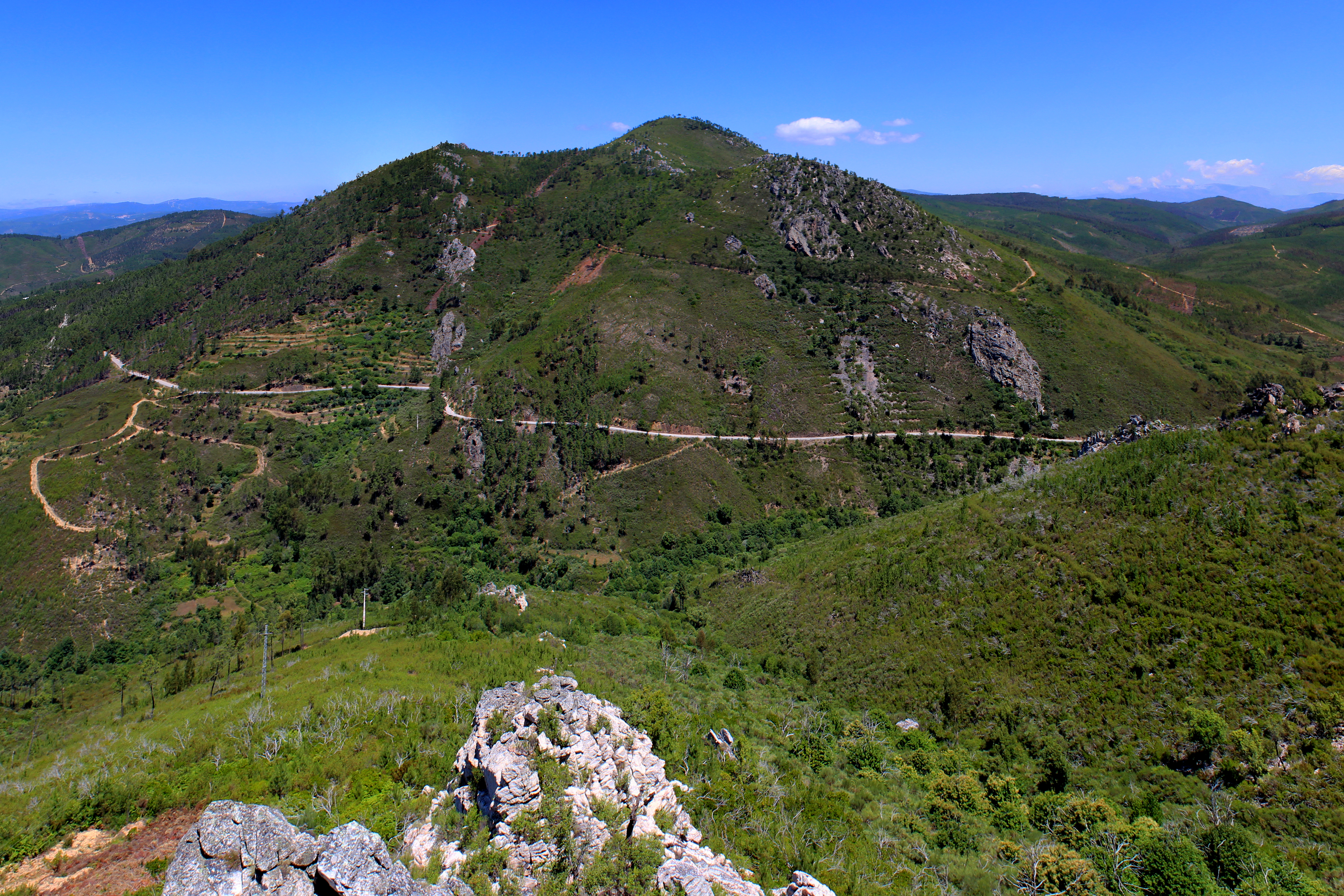
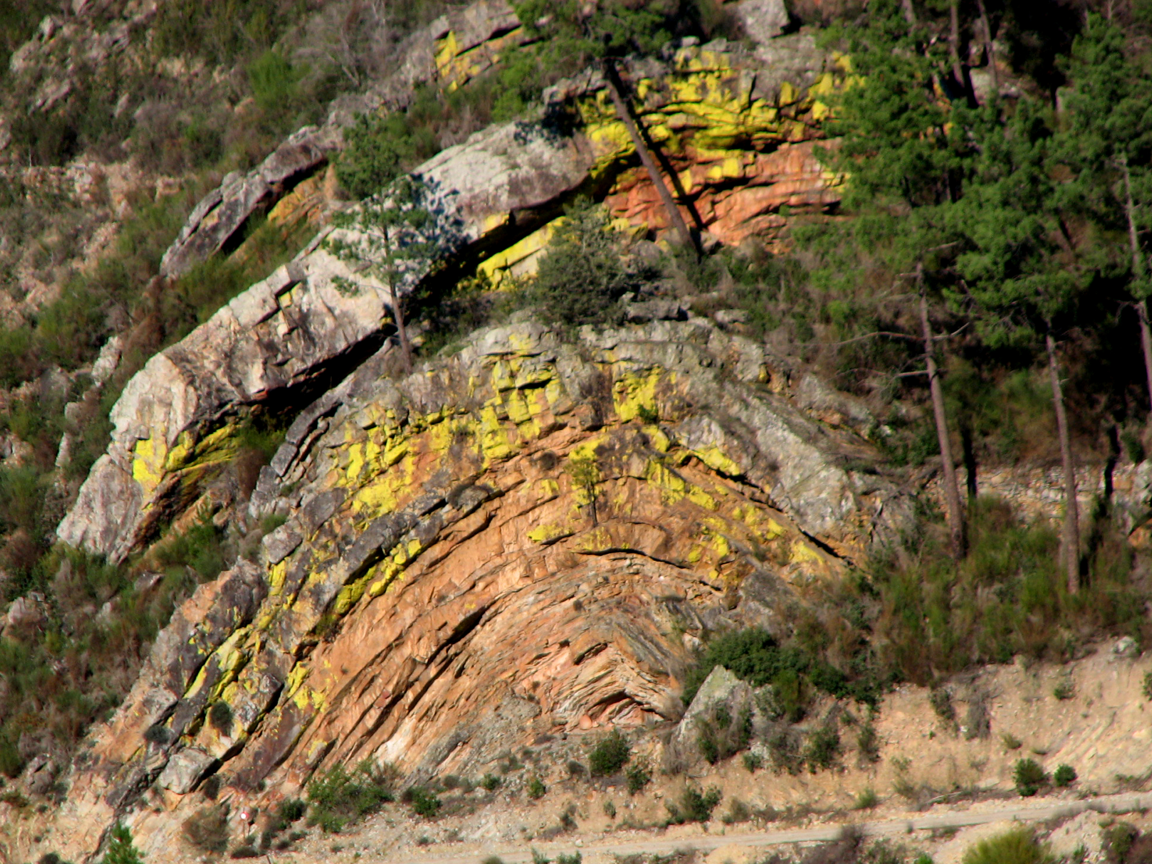
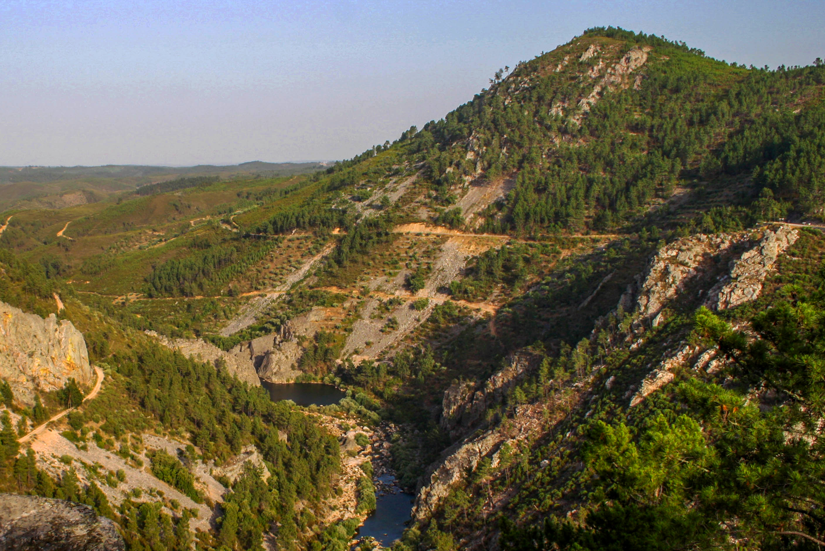
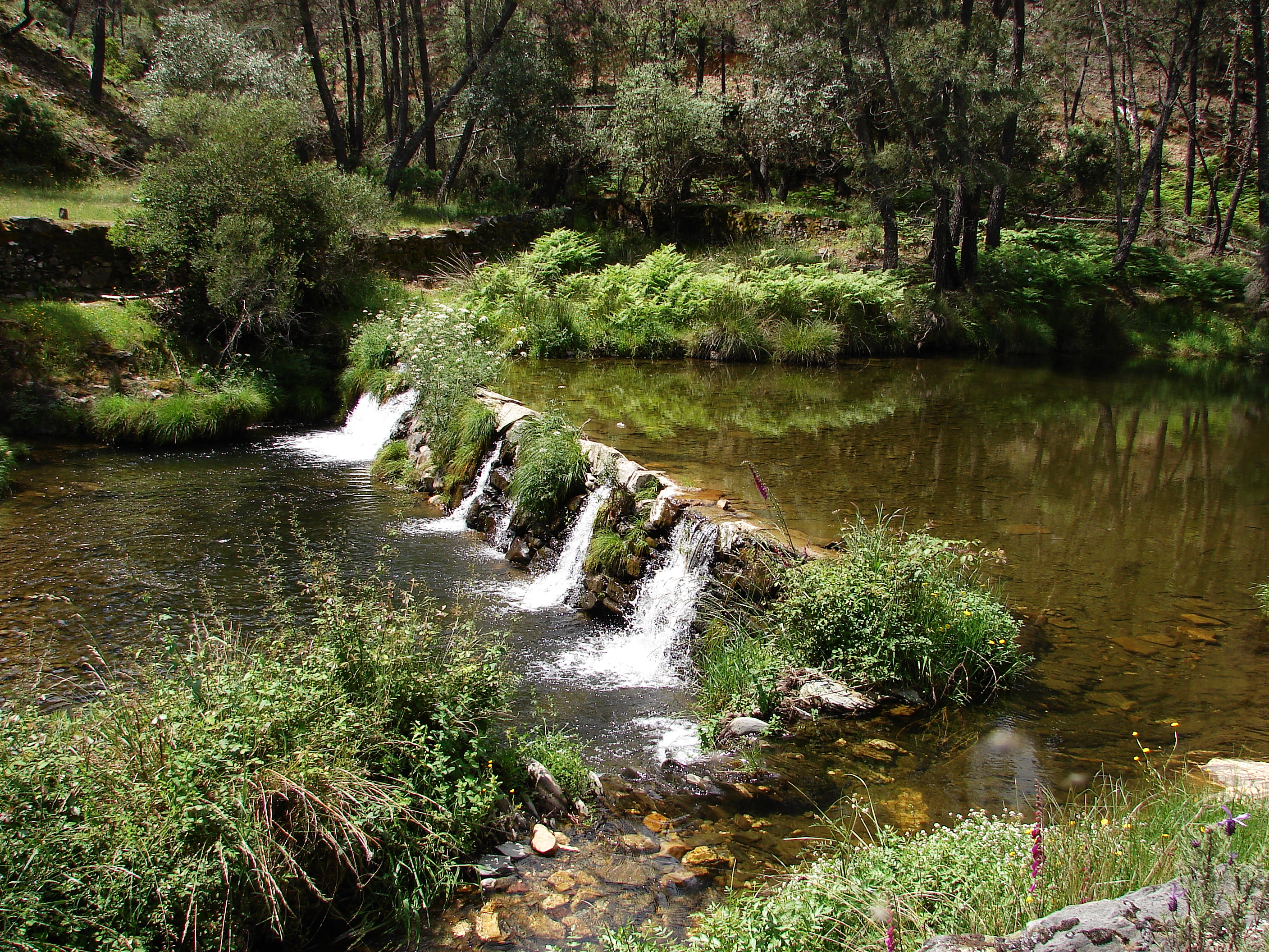
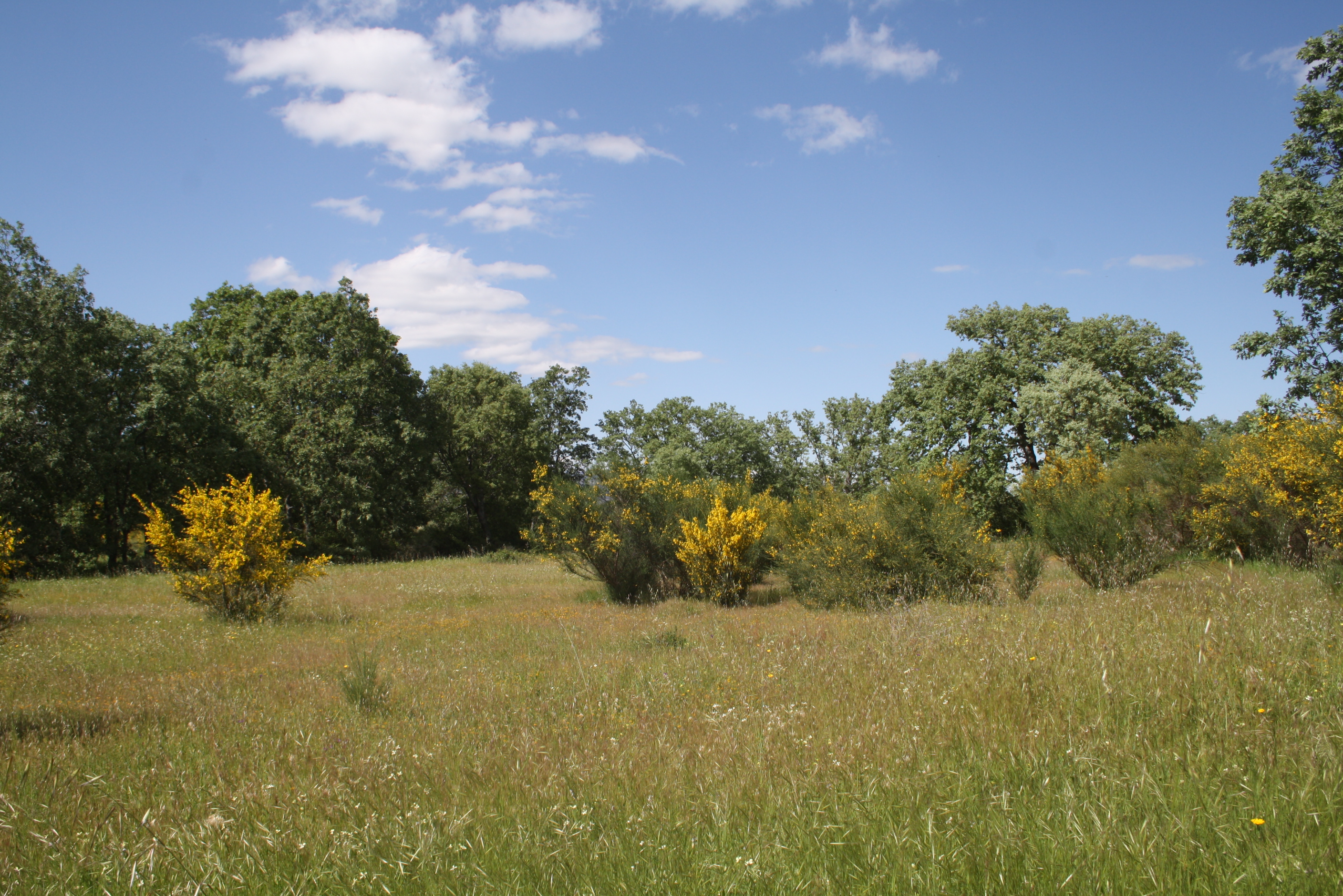
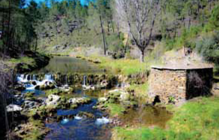
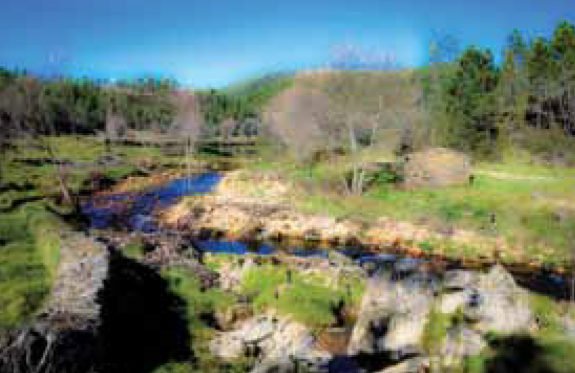
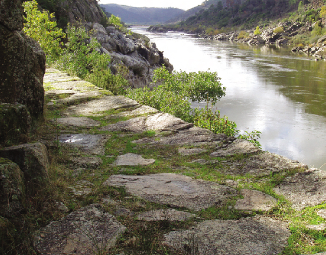
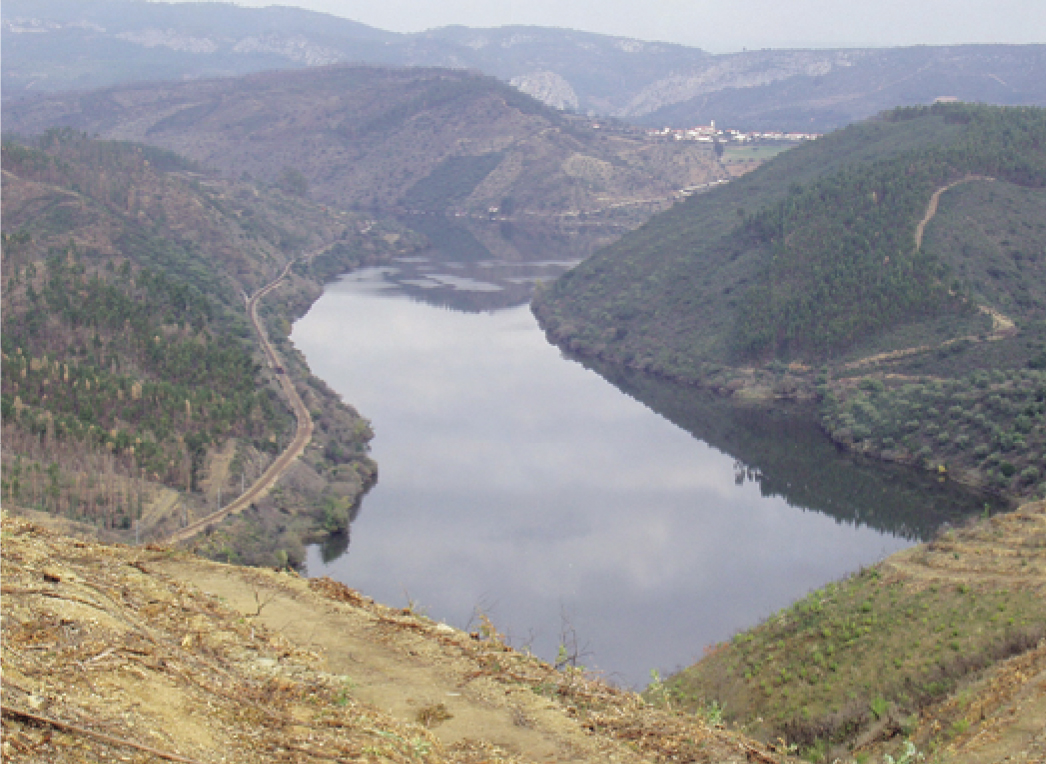
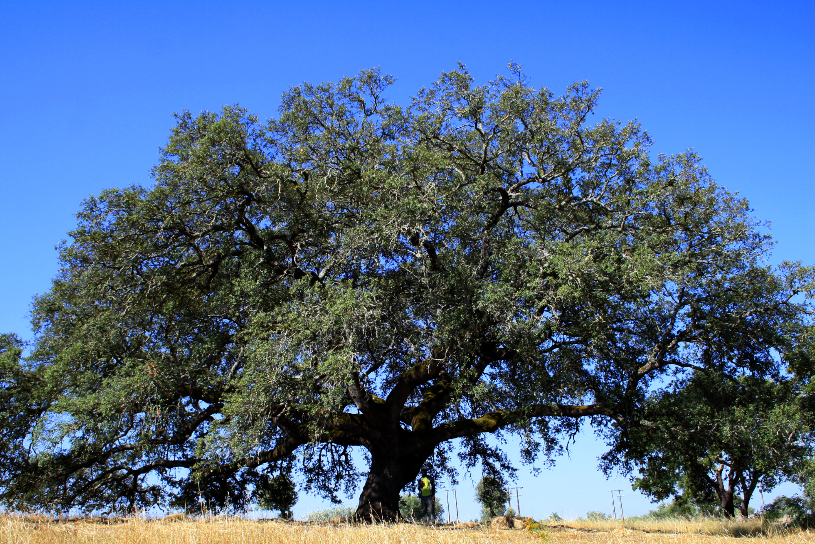
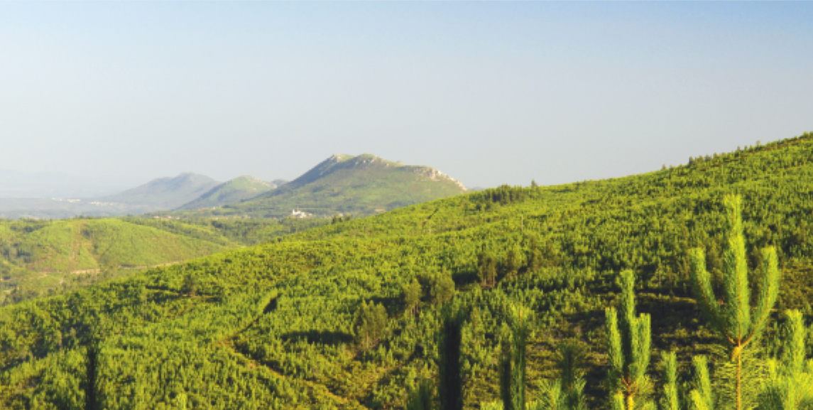
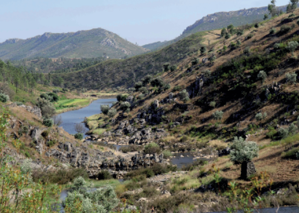
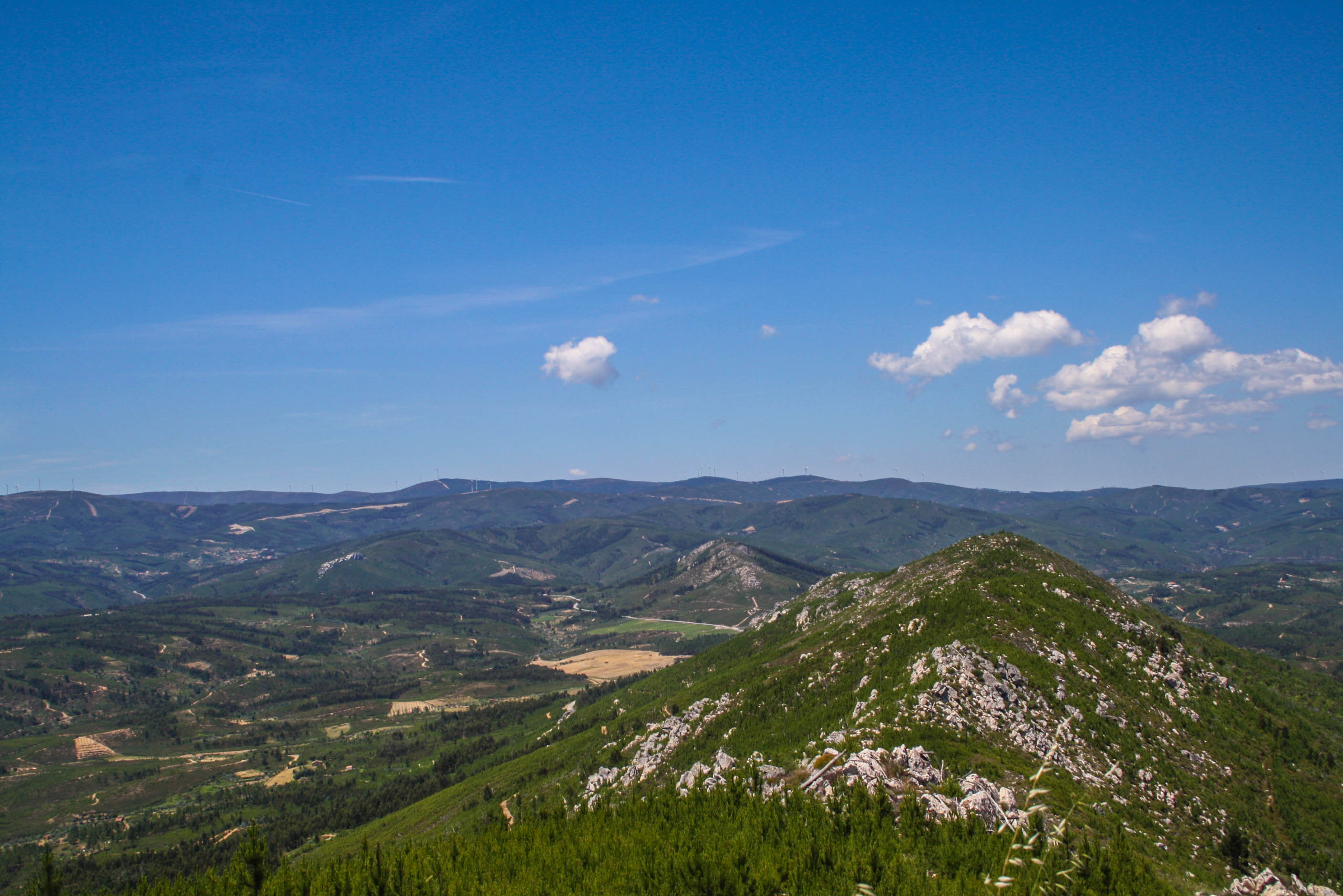
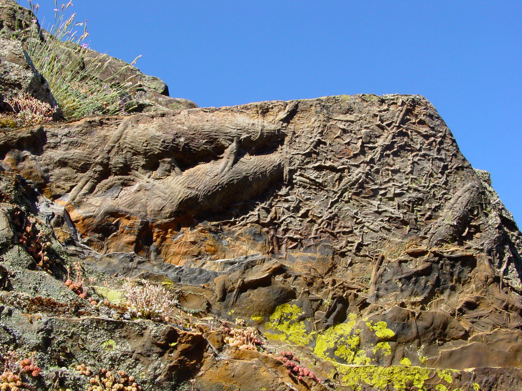
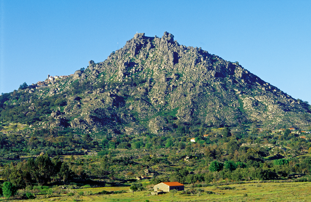
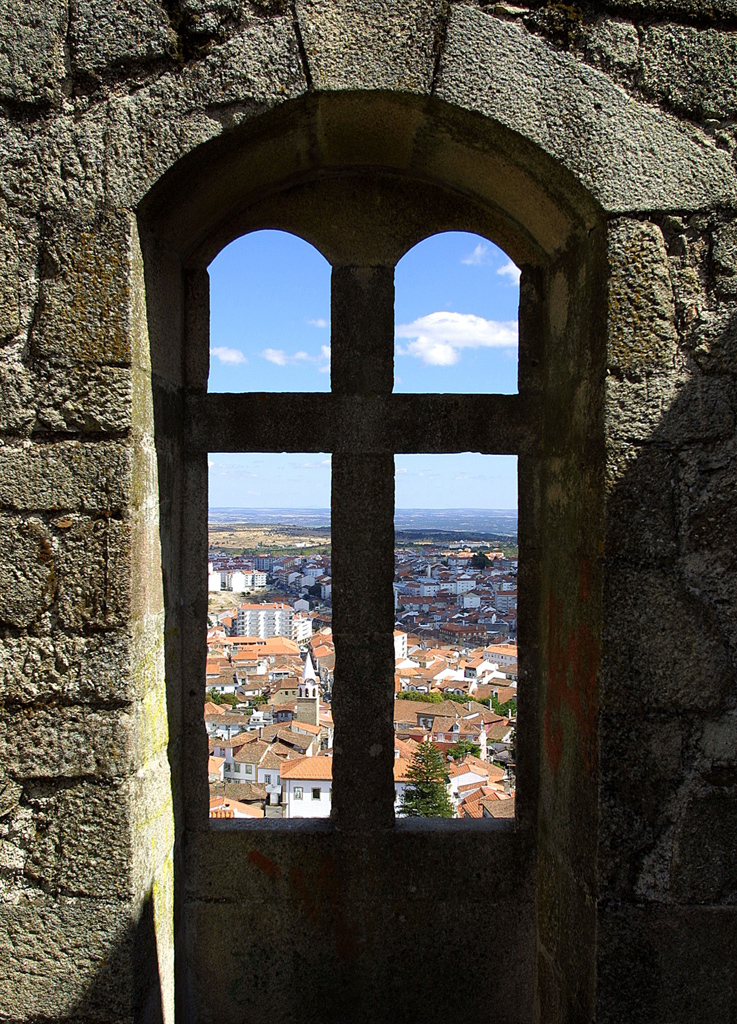
600 million years preserved on rocks and landscapes that spread for more than 5.000 km2.
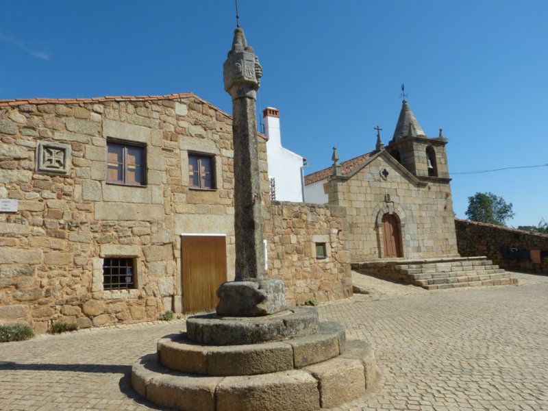
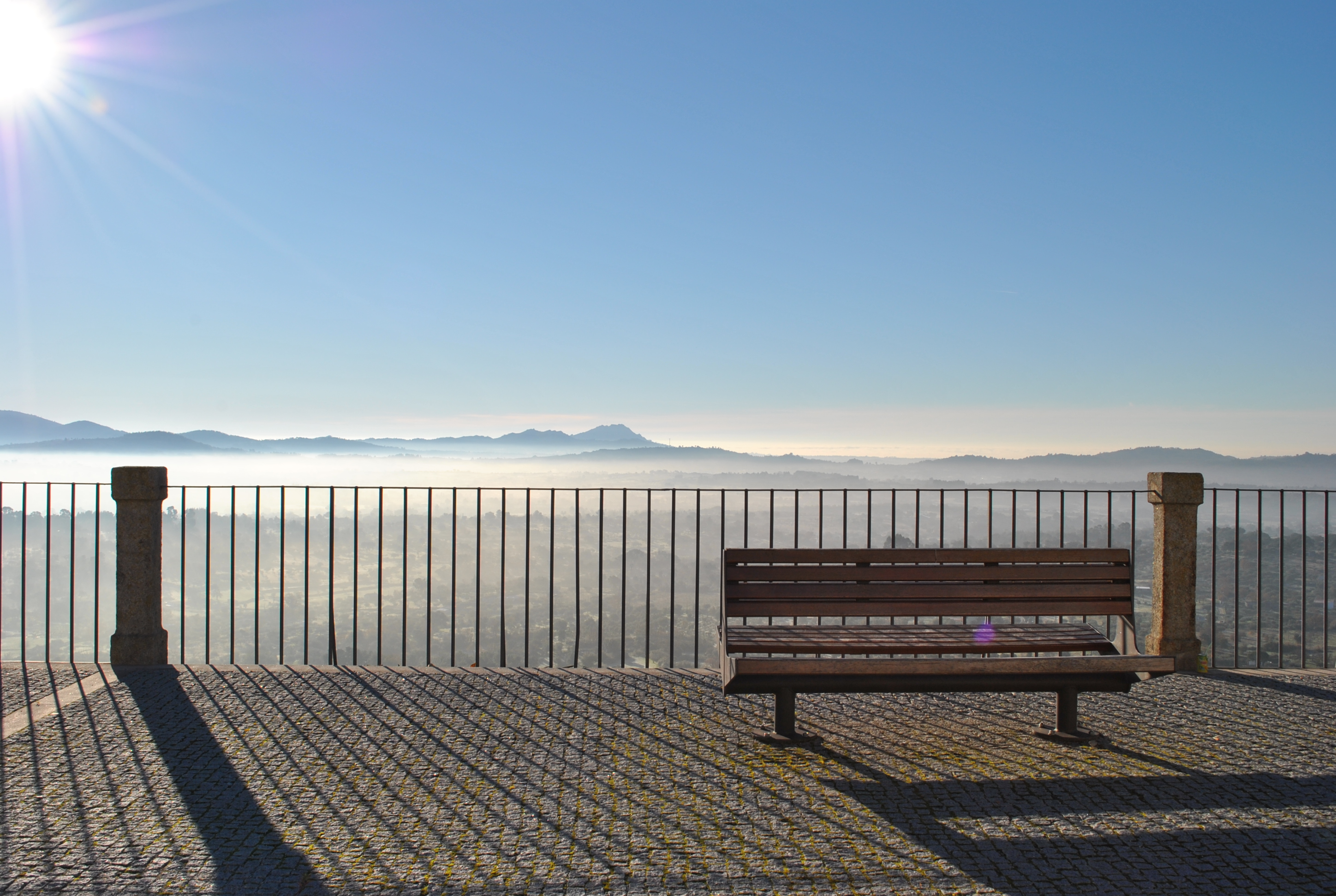
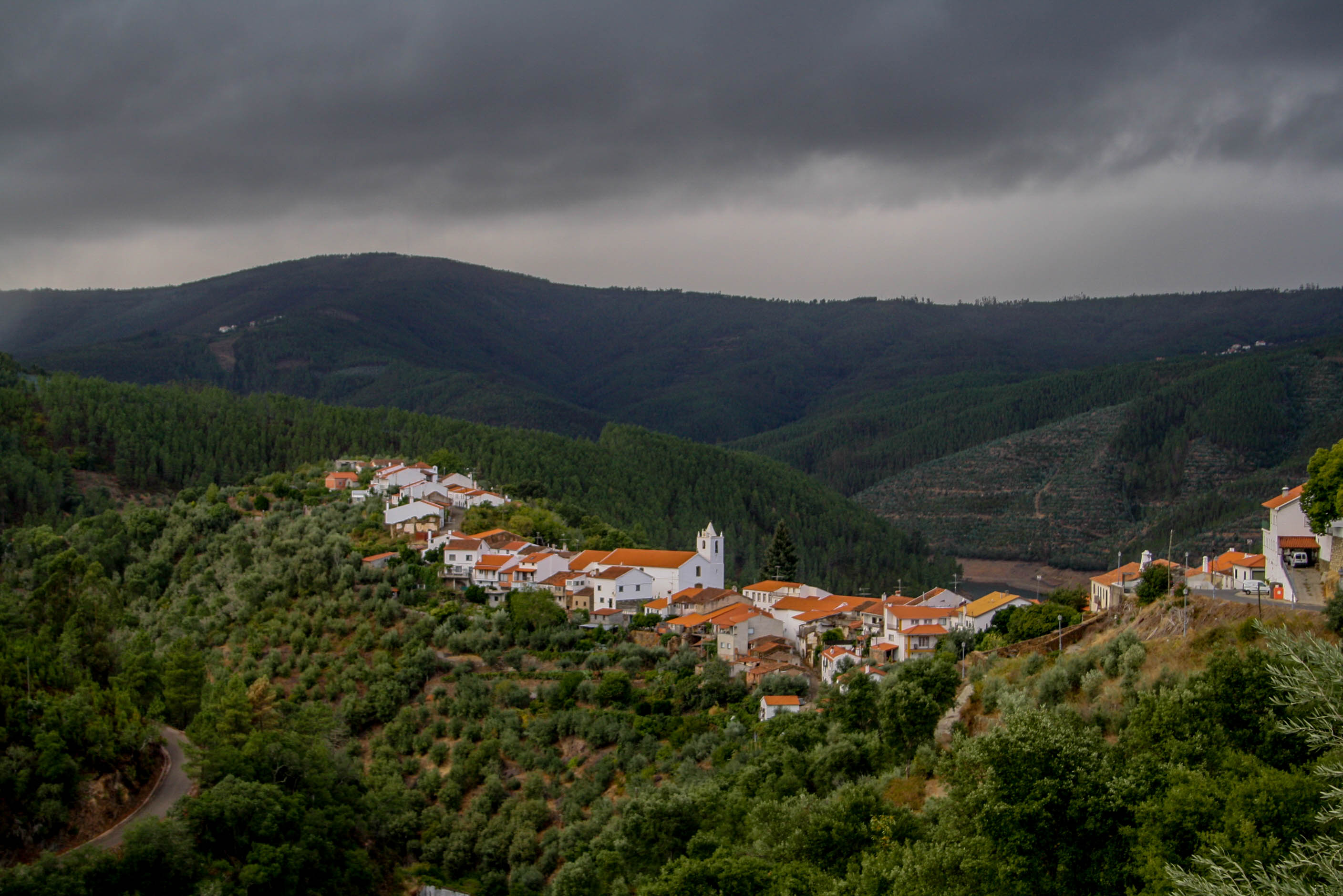
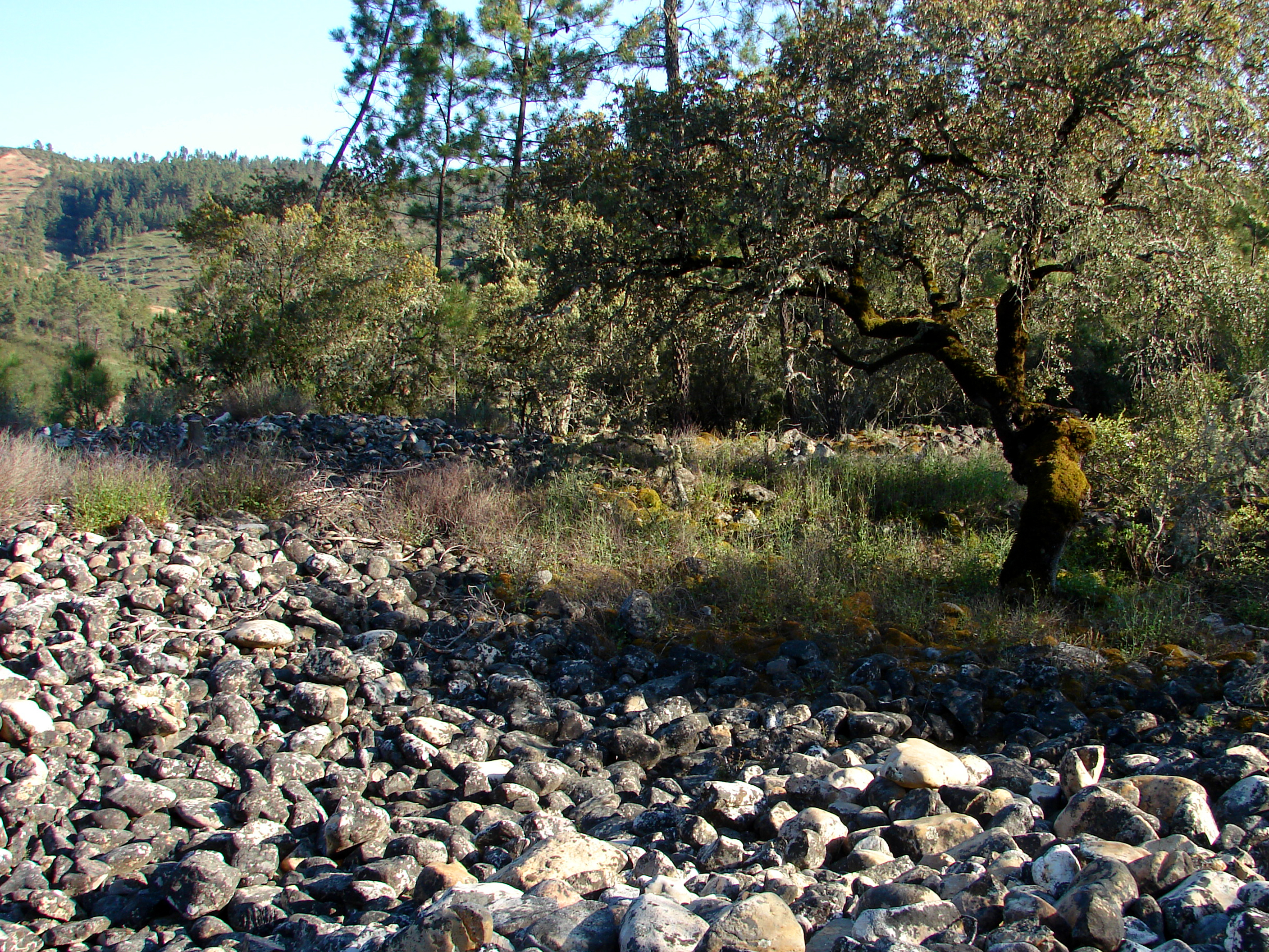
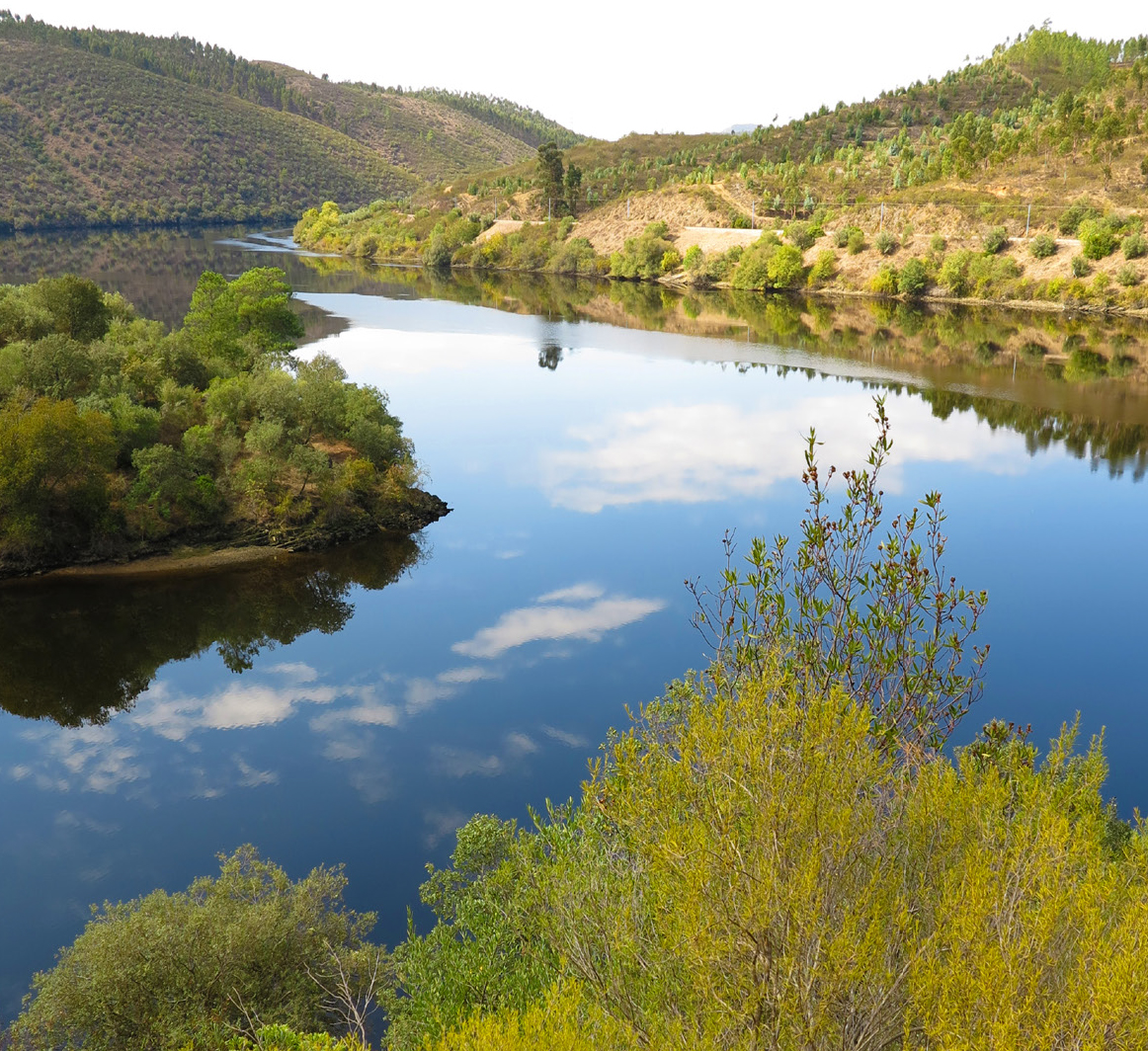
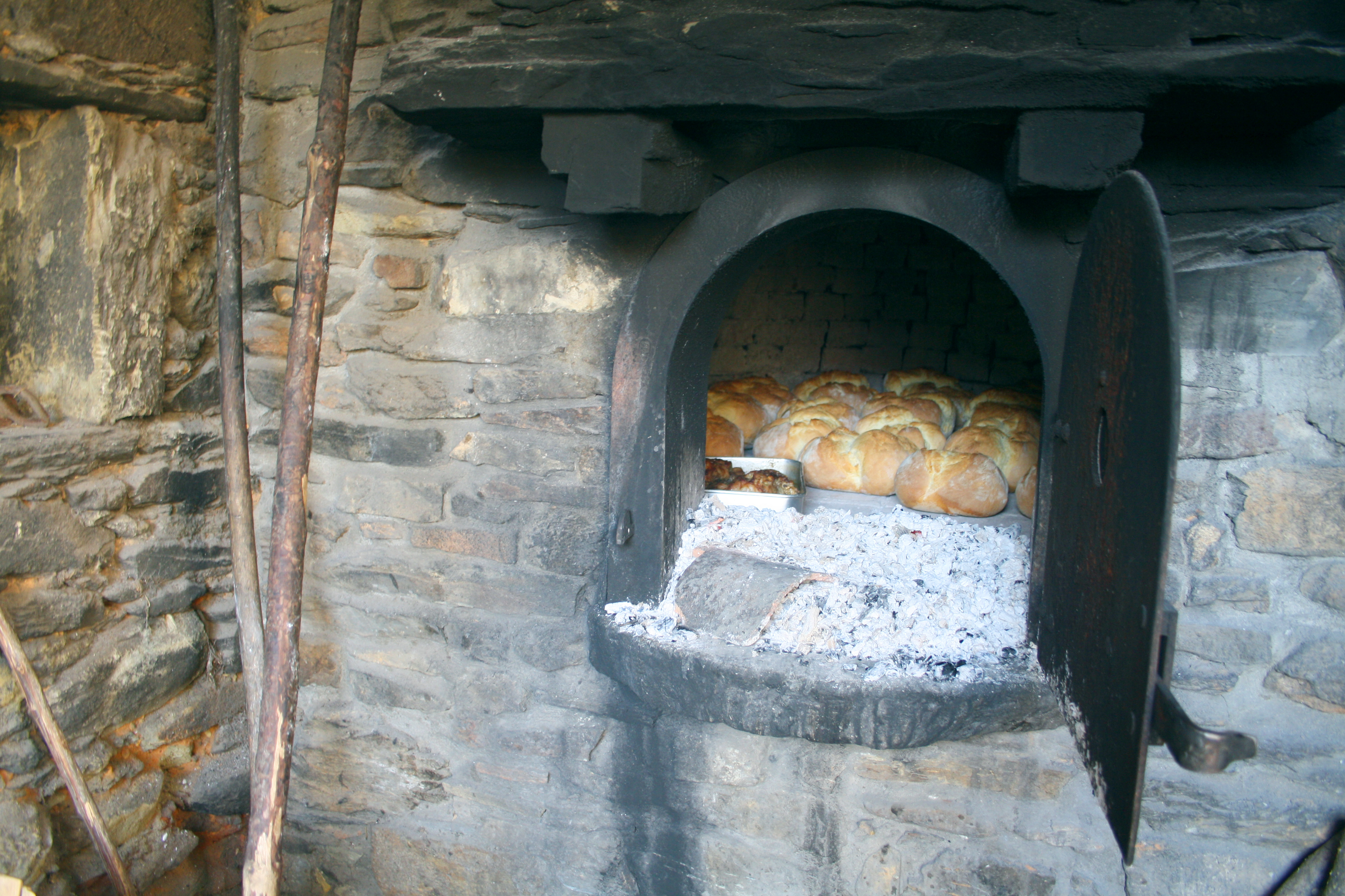
Amazing sites, where overwhelming nature is celebrated in ancient cultures. A region where Mother earth was particularly generous.
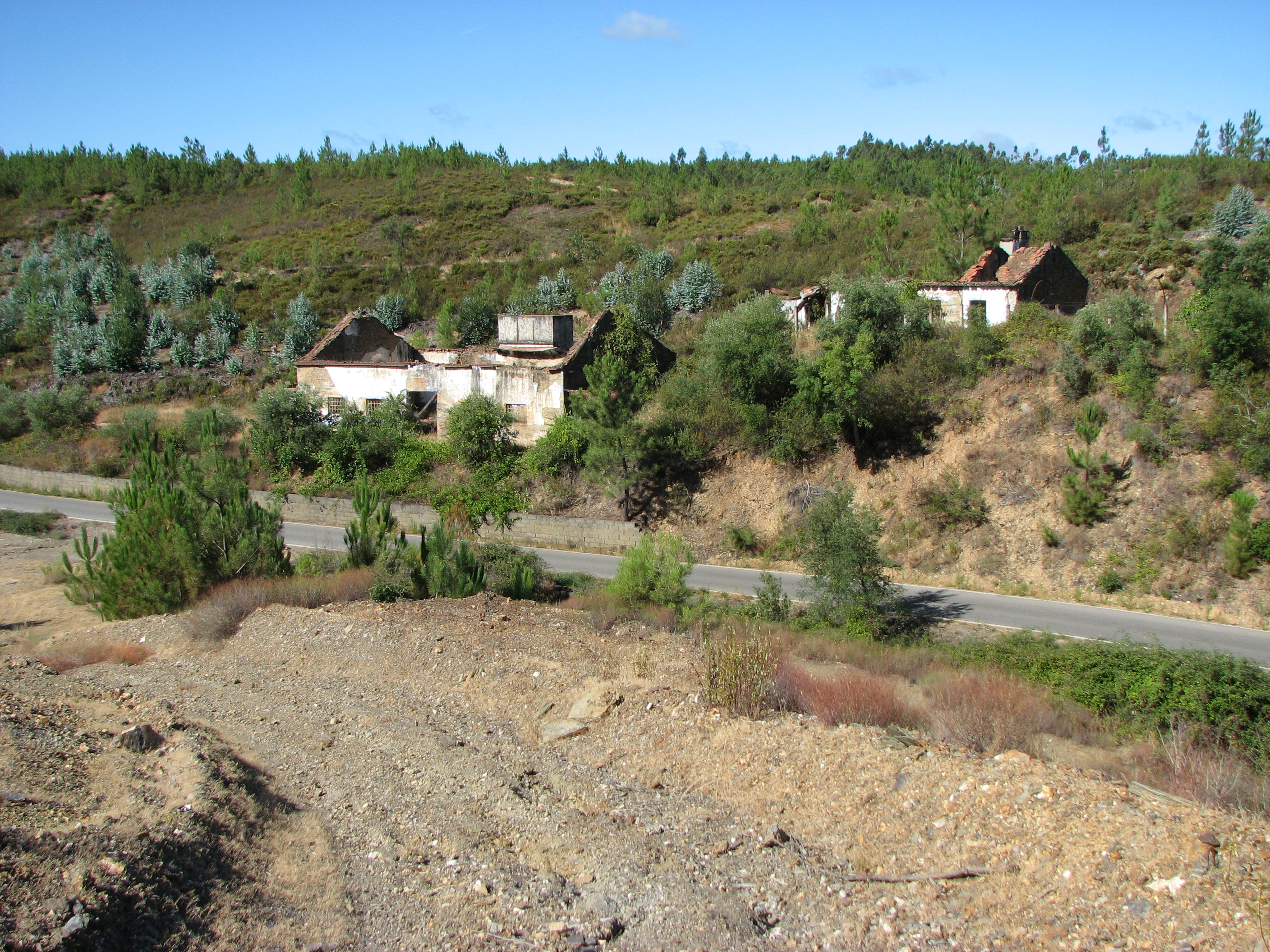
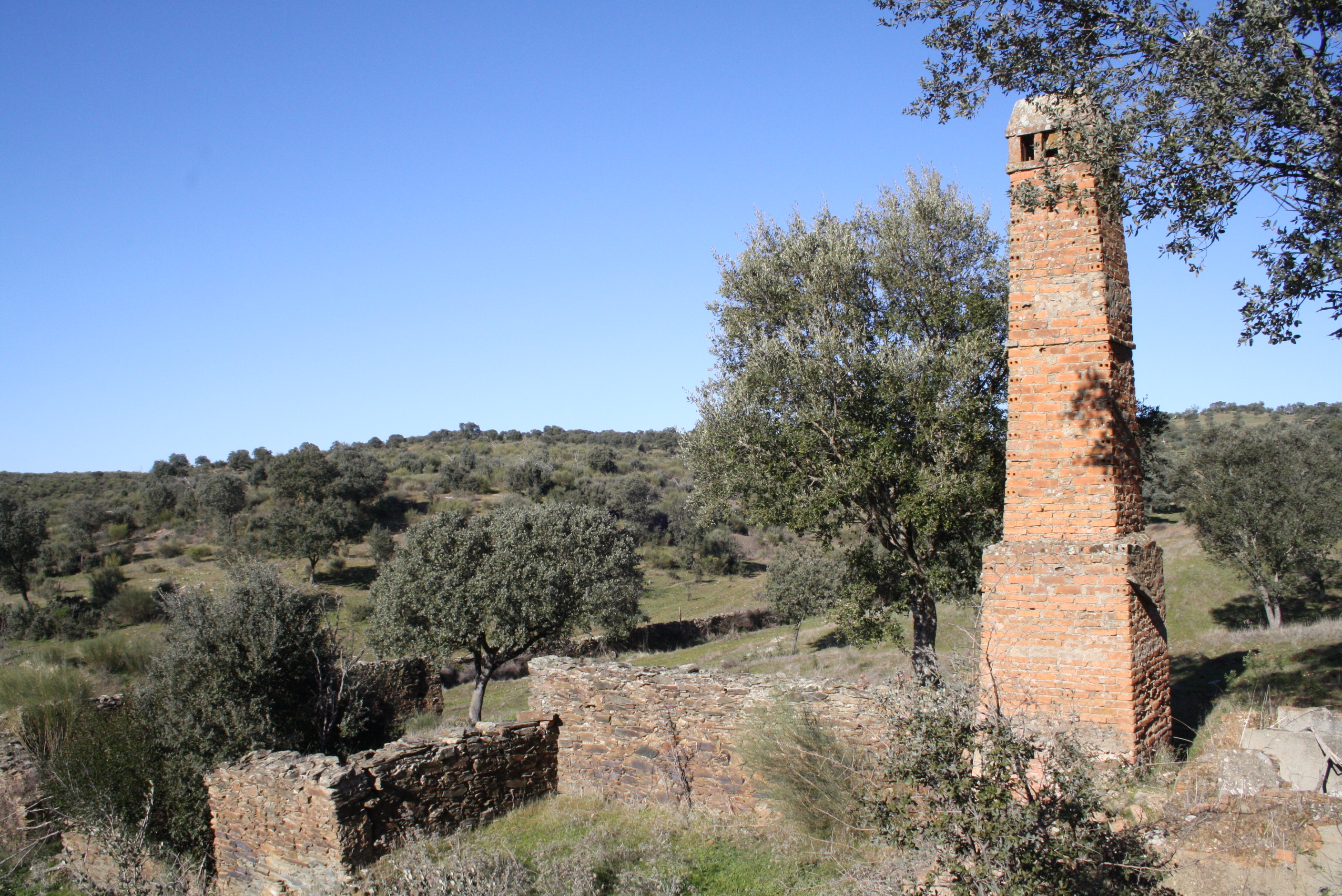
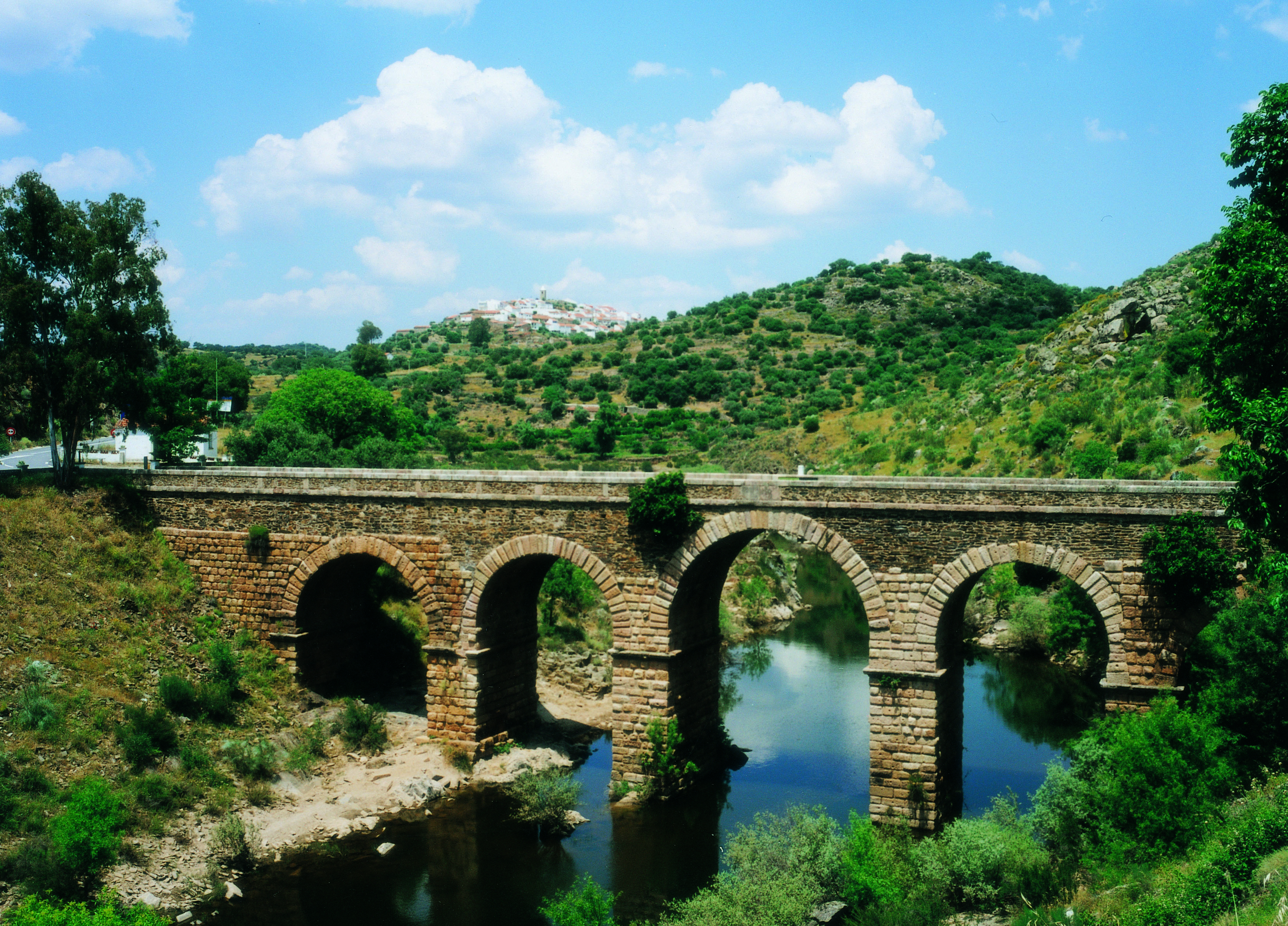
The Geopark Naturtejo da Meseta Meridional is a territory with an exceptional geological patrimony, of great scientific, aesthetic and educational value, conjugated with ecological, cultural and historical aspects in an integrated strategy of sustainable local development.
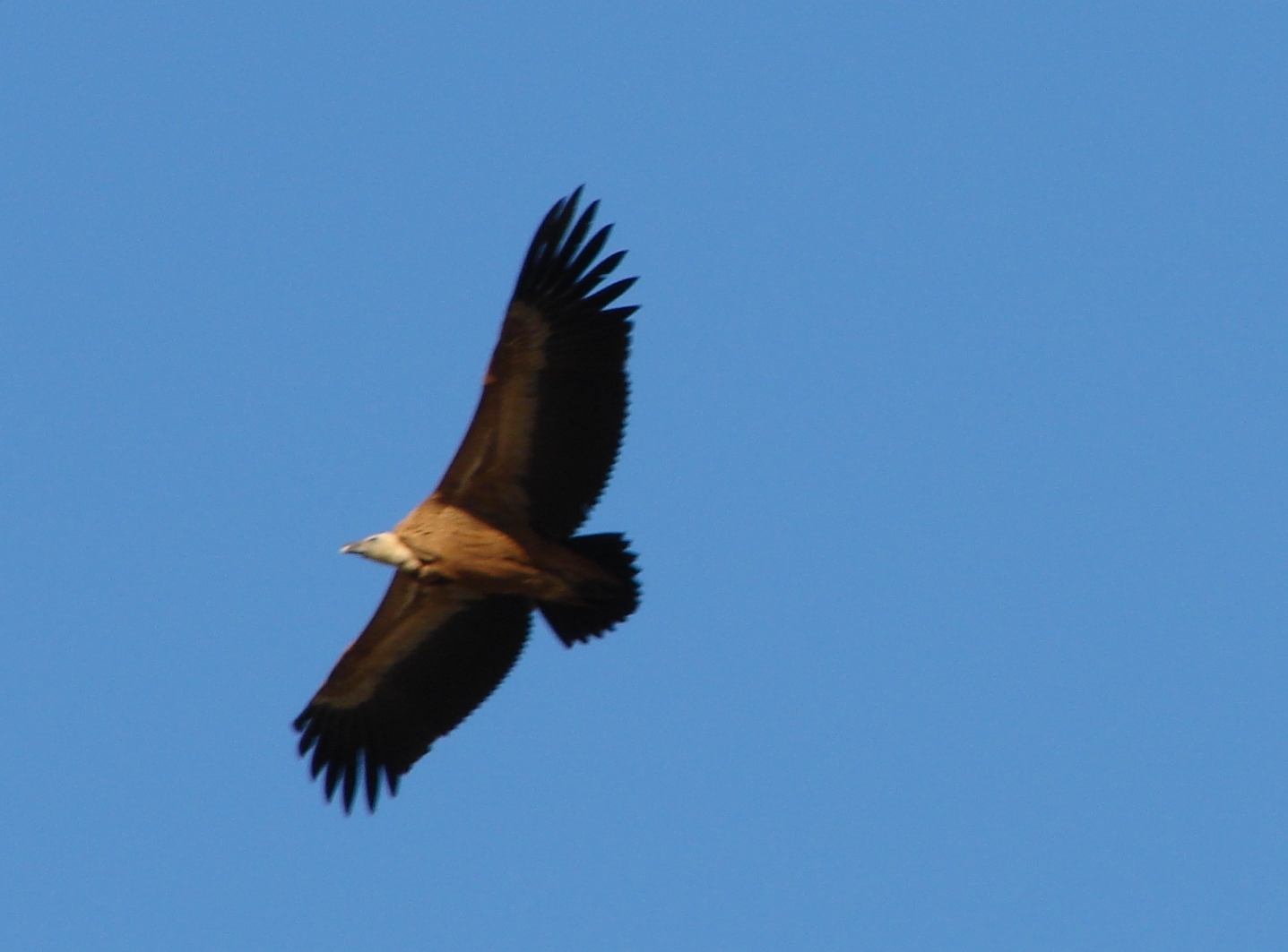
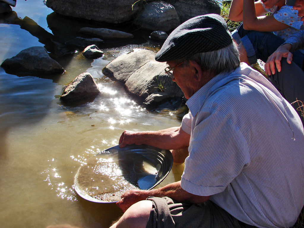
This Geological Heritage, of high scientific value, is the gateway to the discovery of the history of the Earth. In the Geopark, are countless the occurrences of fossils, rocks, landscapes and mines. Geo-tourism is the perfect way of knowing the Geopark and its valuable treasures.
Geomonument Guides (in Portuguese)
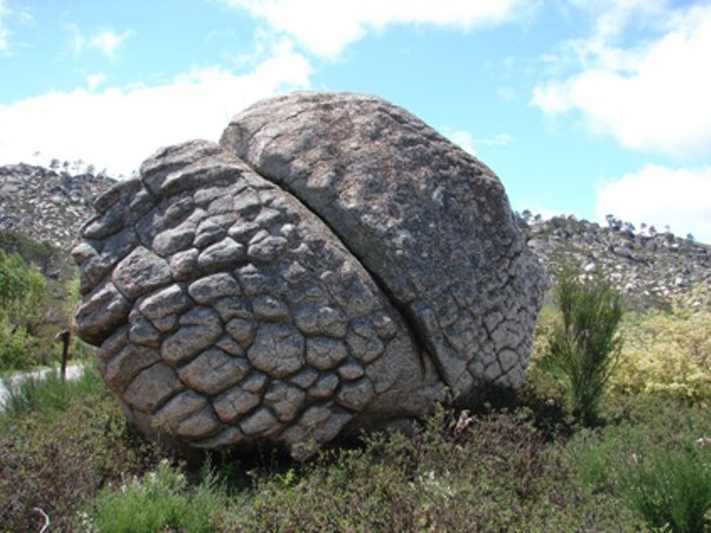
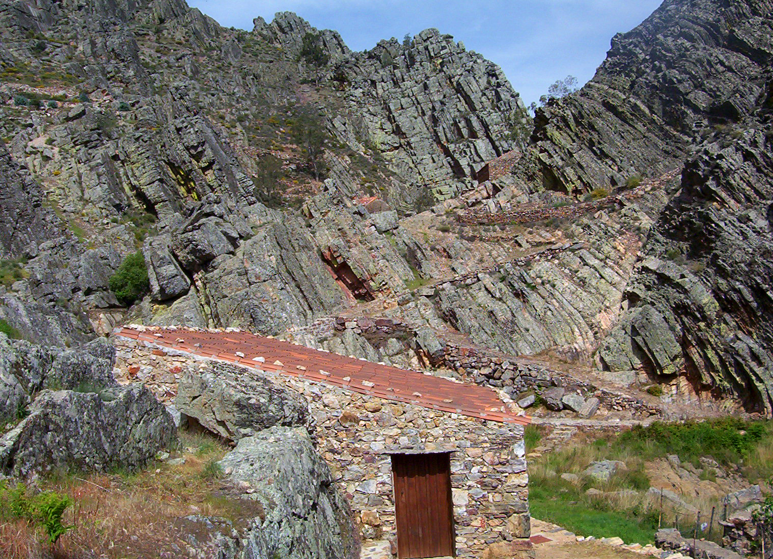
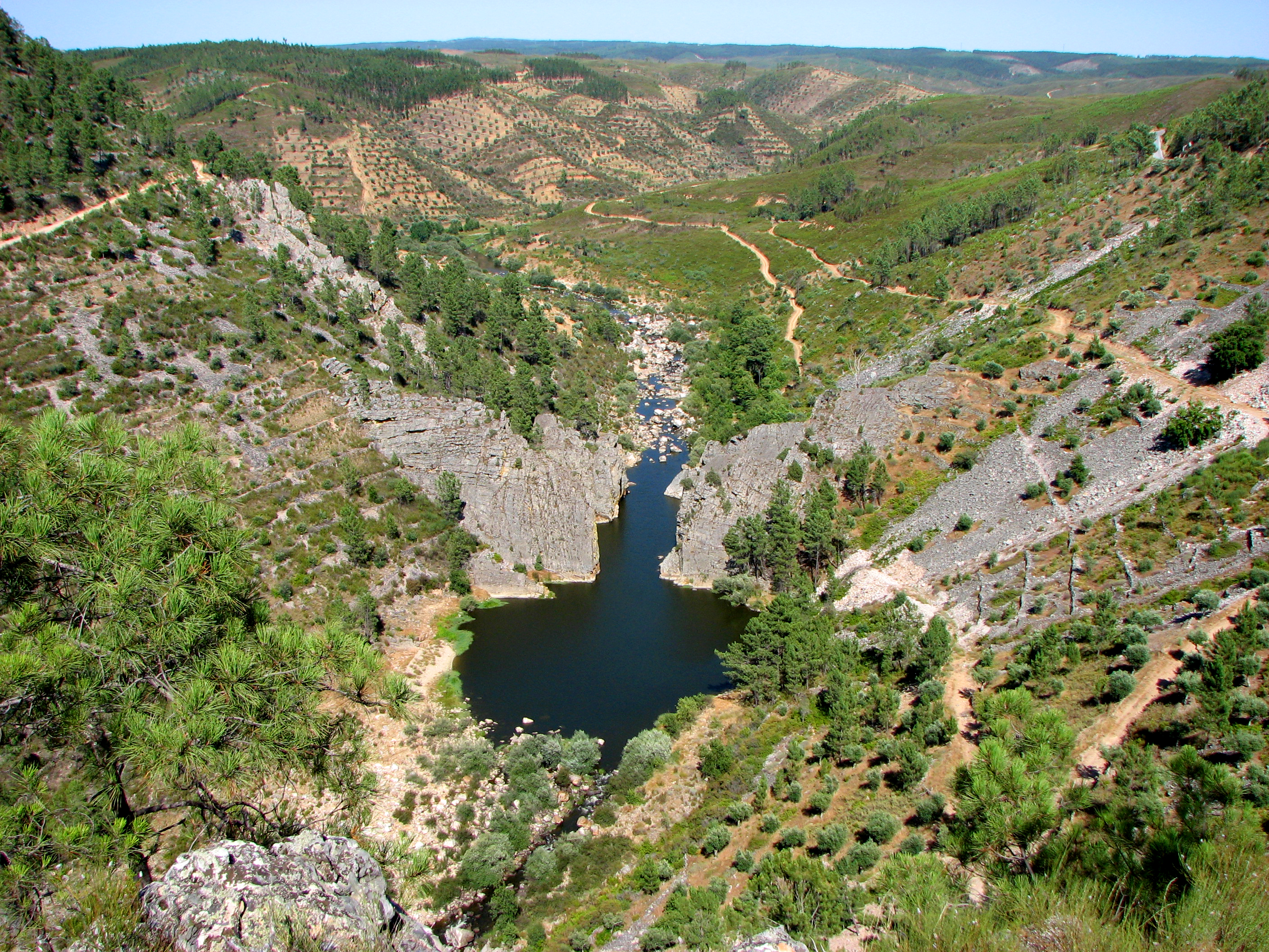
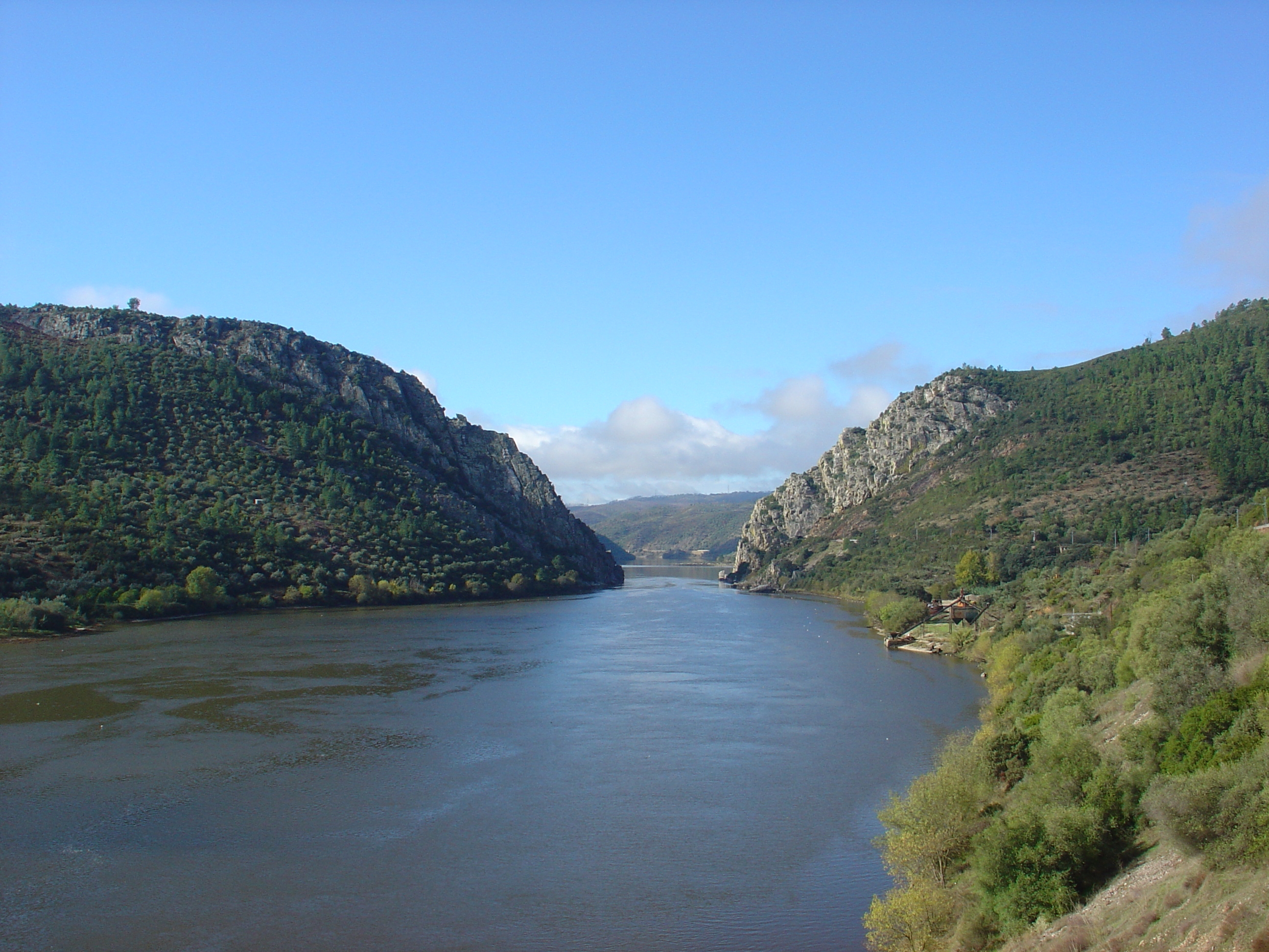
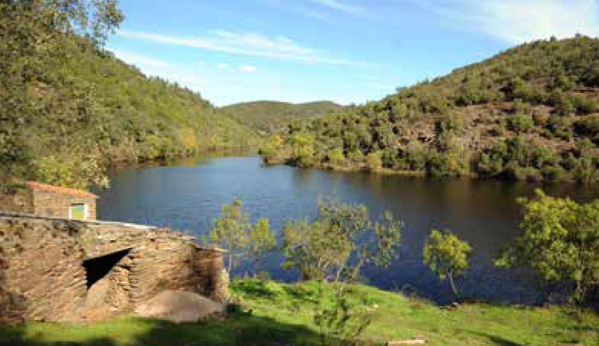
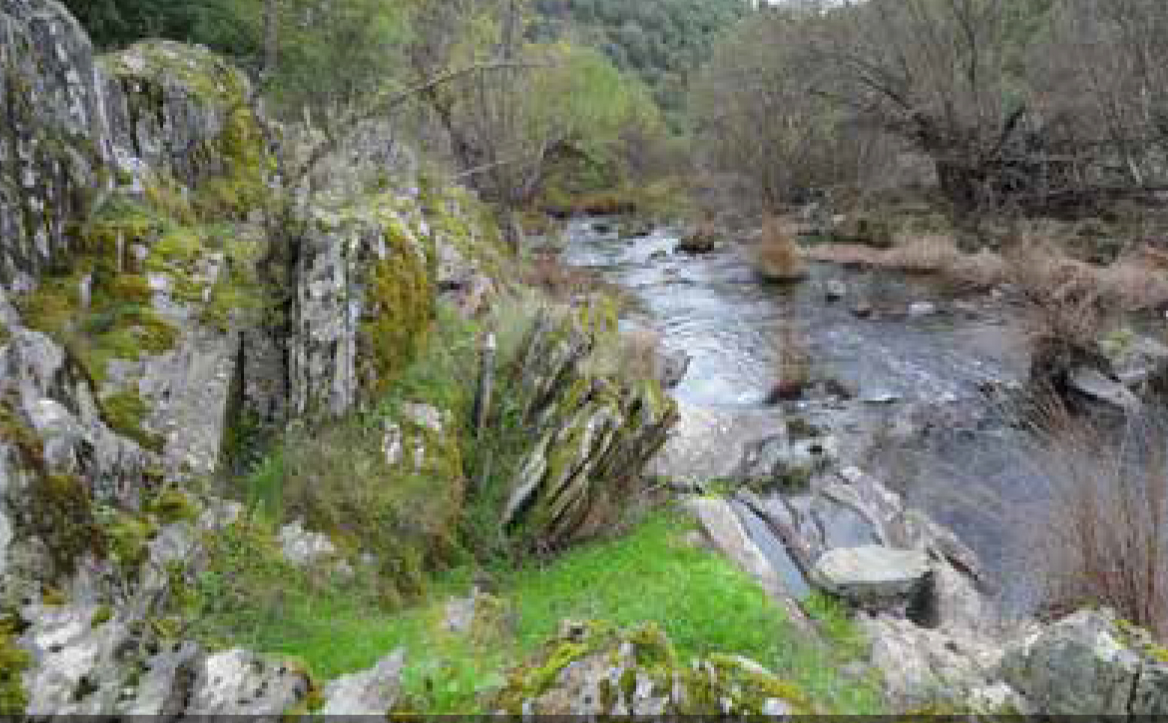
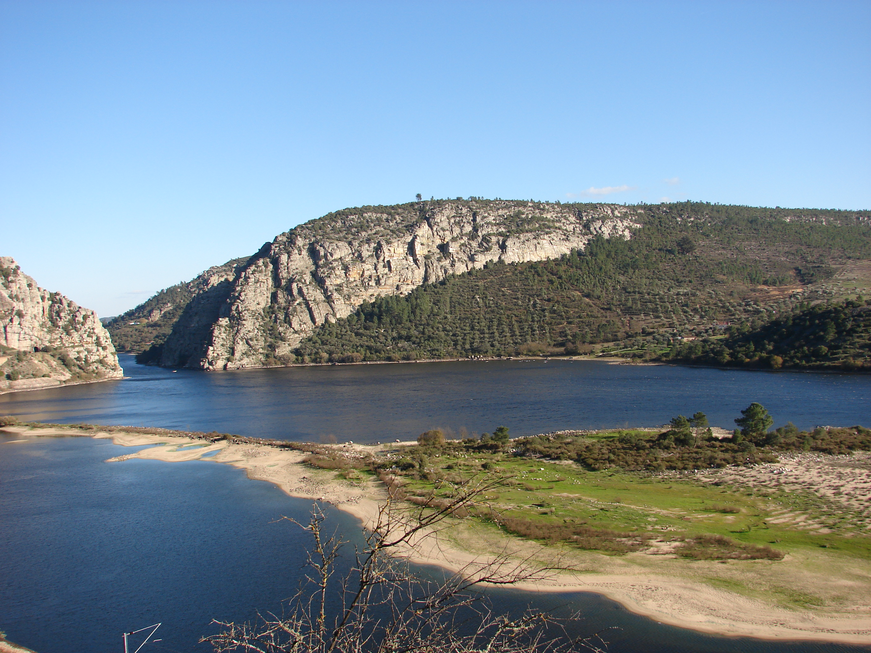
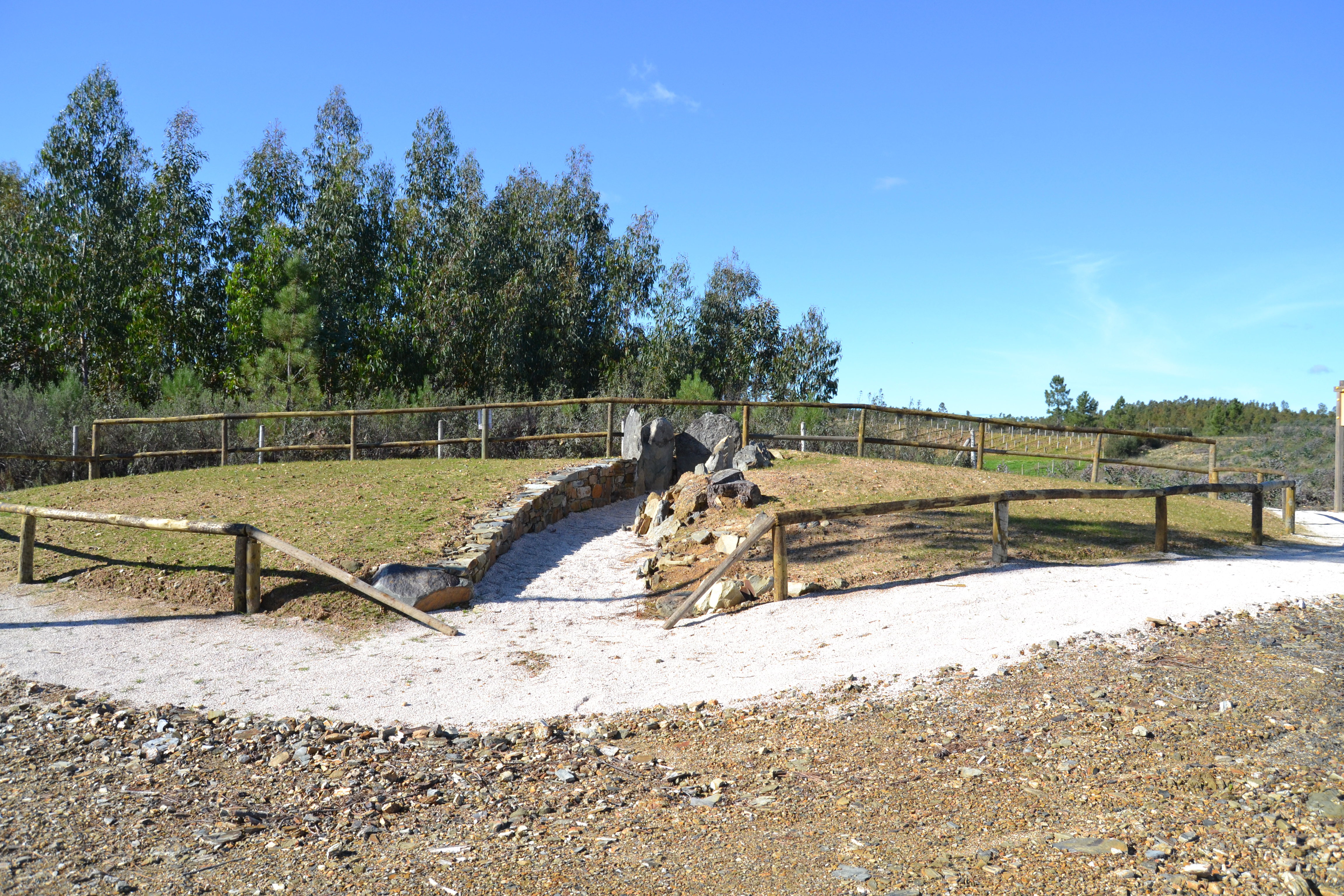
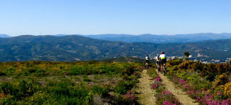
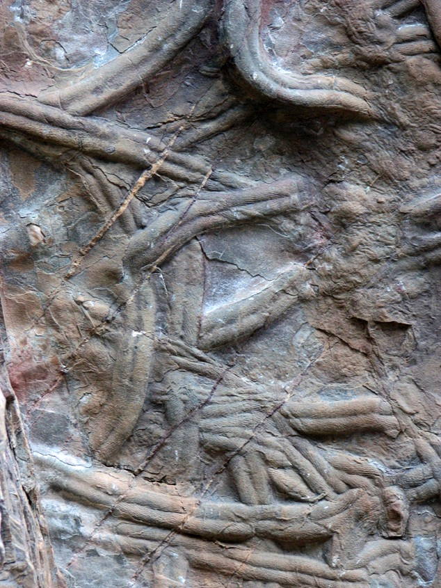
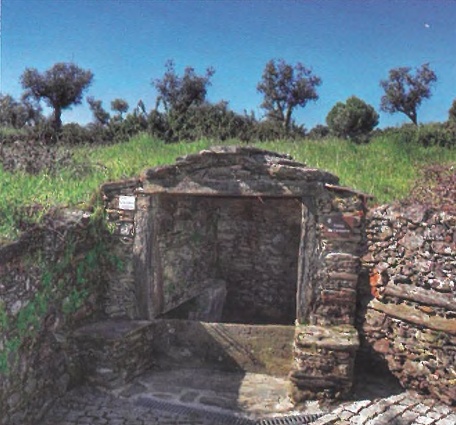
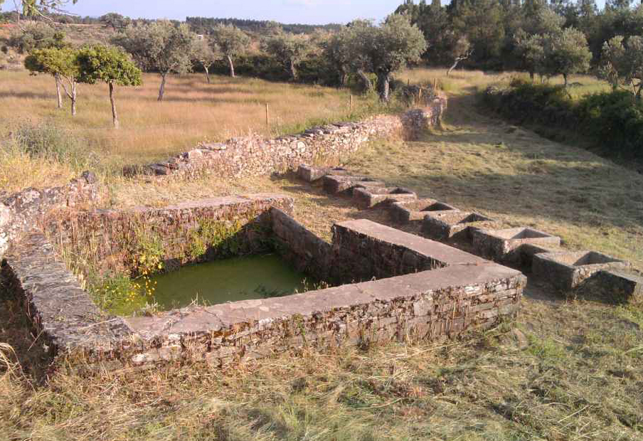
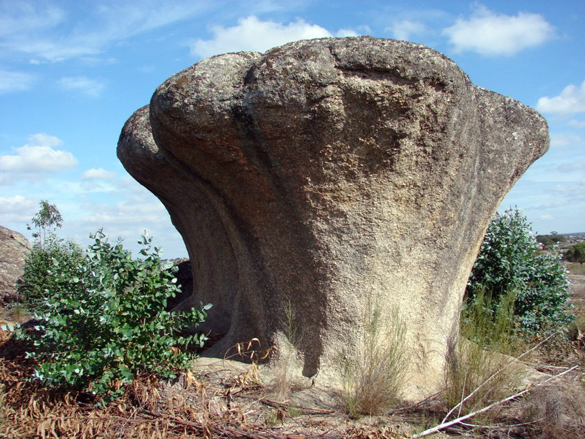
The Naturtejo Geopark has 16 different geomonuments, of exceptional geological interest. These geomonuments tell the territory’s story for the last 600 million years.
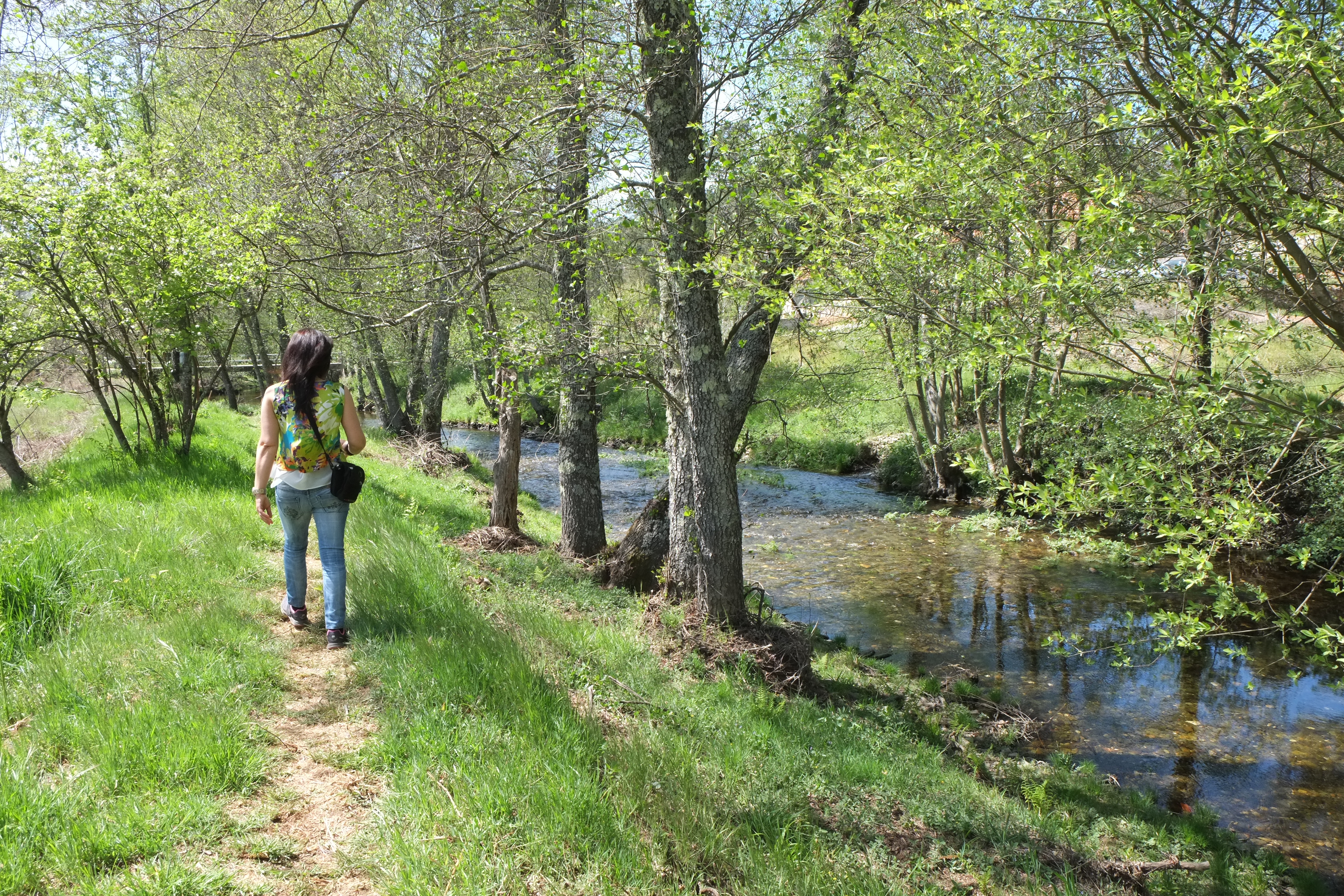
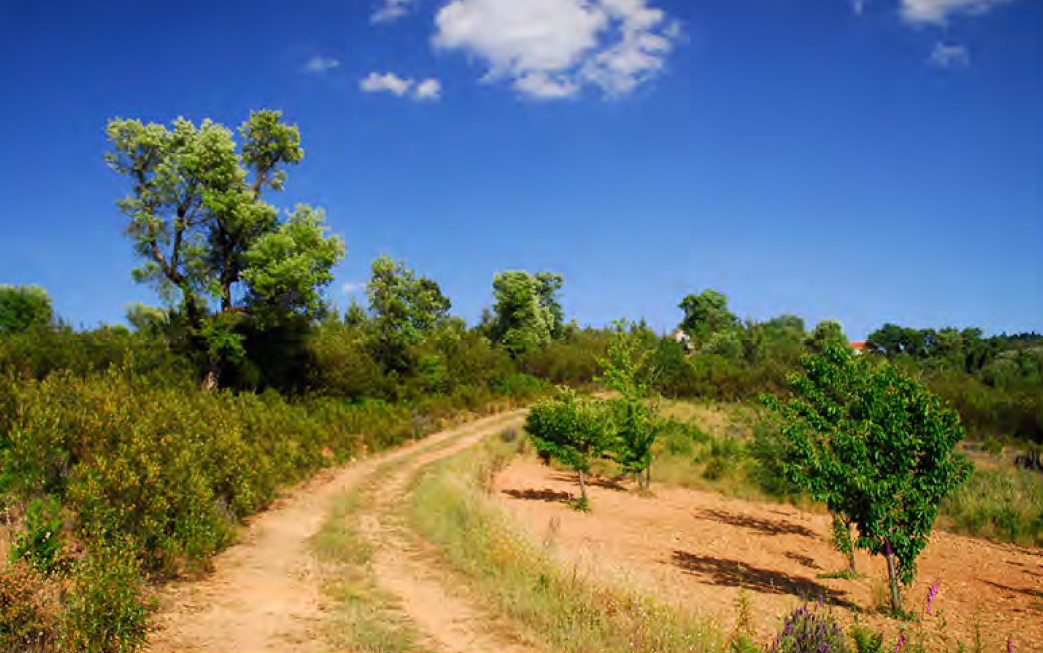
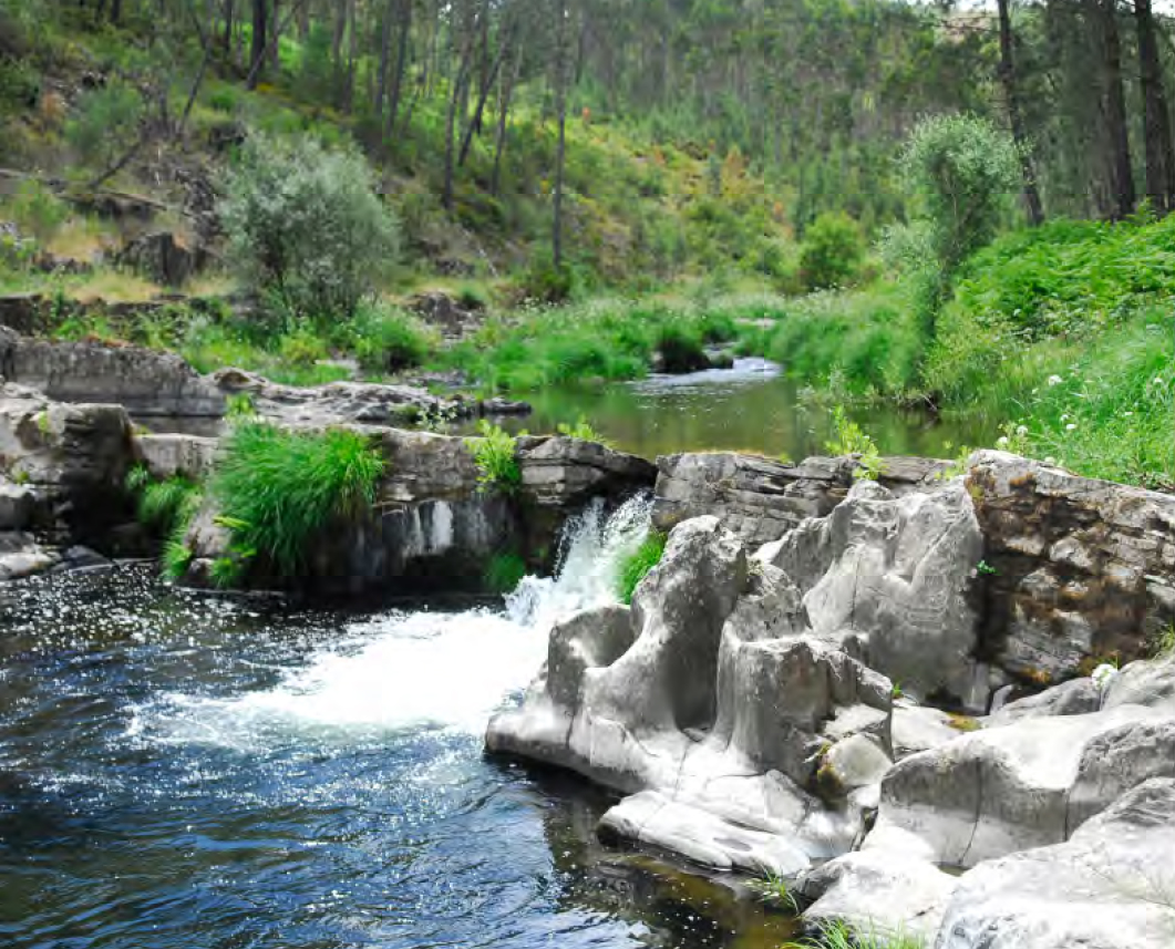
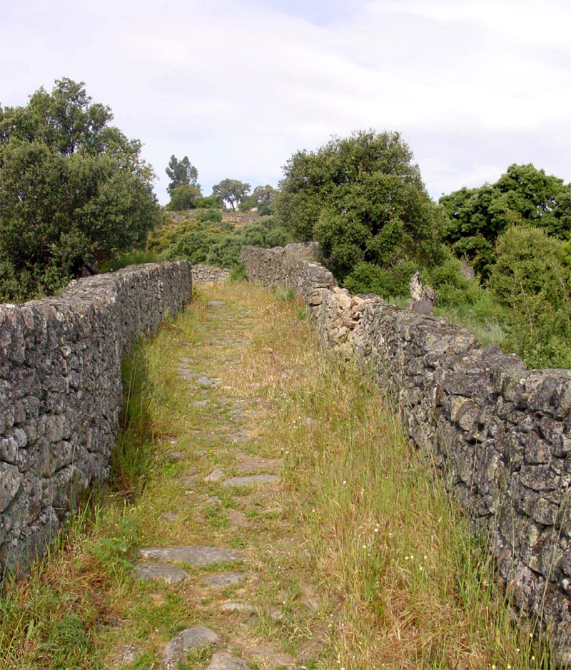
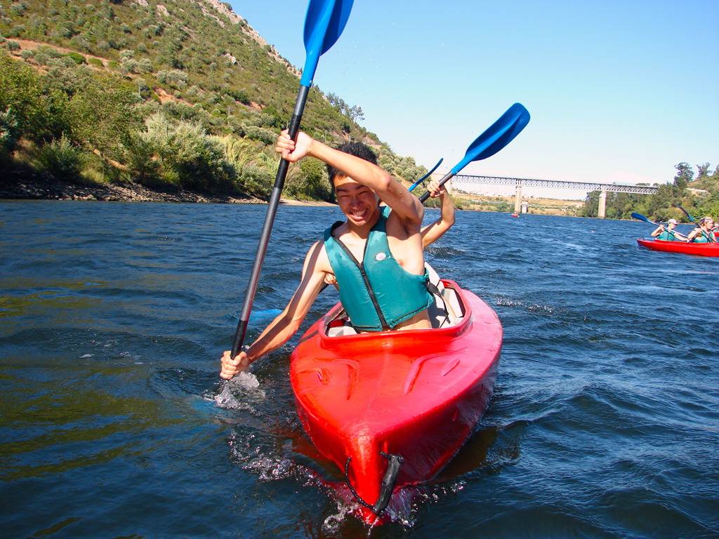
Among rivers, valleys, hills and plains, we propose the discovery of the Geopark, where the history of the Earth was carved on the rocks and landscapes. Know some of these monuments through its guides.


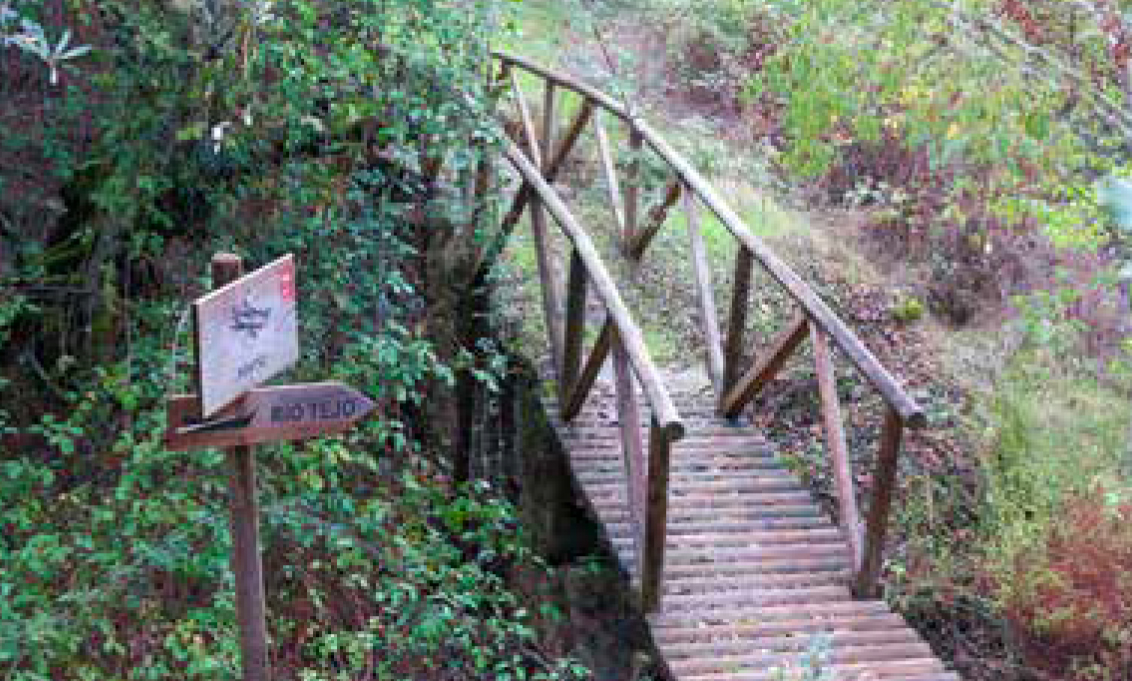
Walking Trails (in Portuguese)
Geoturist Walking Trails (GeoTrails)
(PR9 IDN) – 2,1 km
(GR39) – 130 Km
Other Trails in Naturtejo Geopark:
(PR11 CTB) – 9,5 km
The Geological Heritage is an international treasure, which we need to preserve from all the threats it is permanently exposed to. In order to protect it, we got to first understand its importance to the history of the Earth.
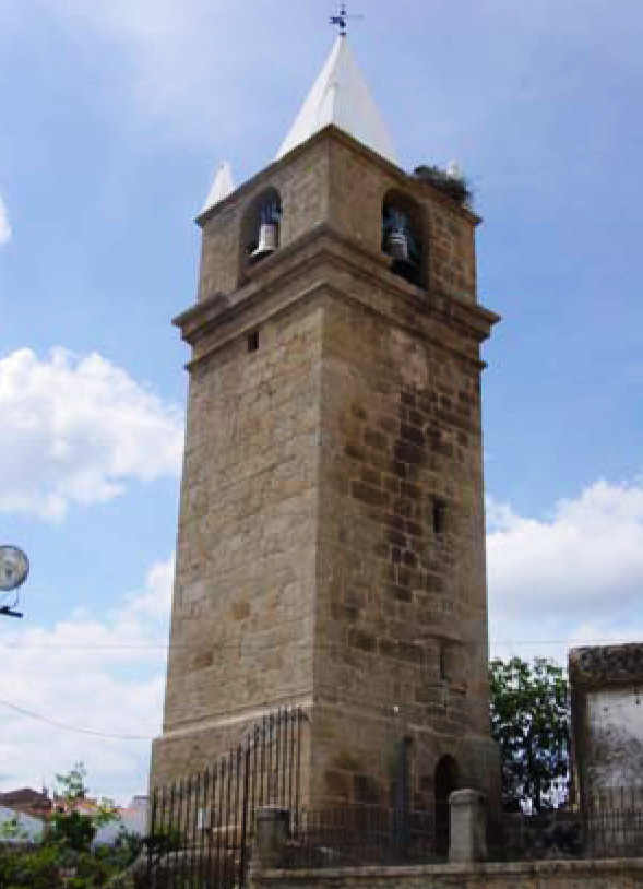
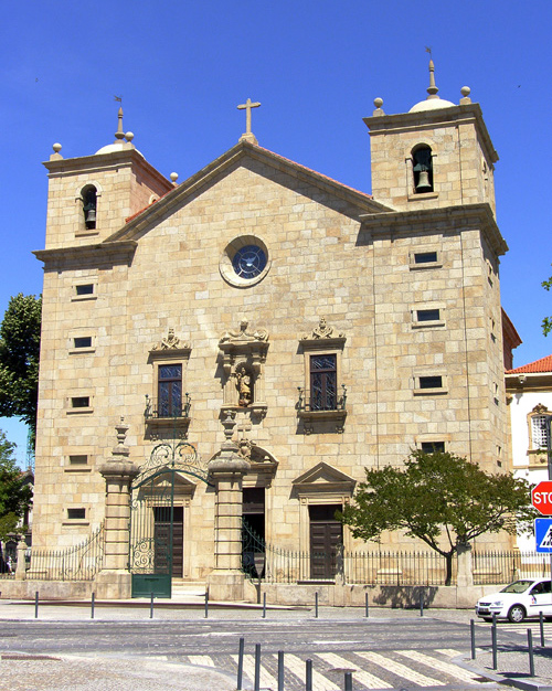
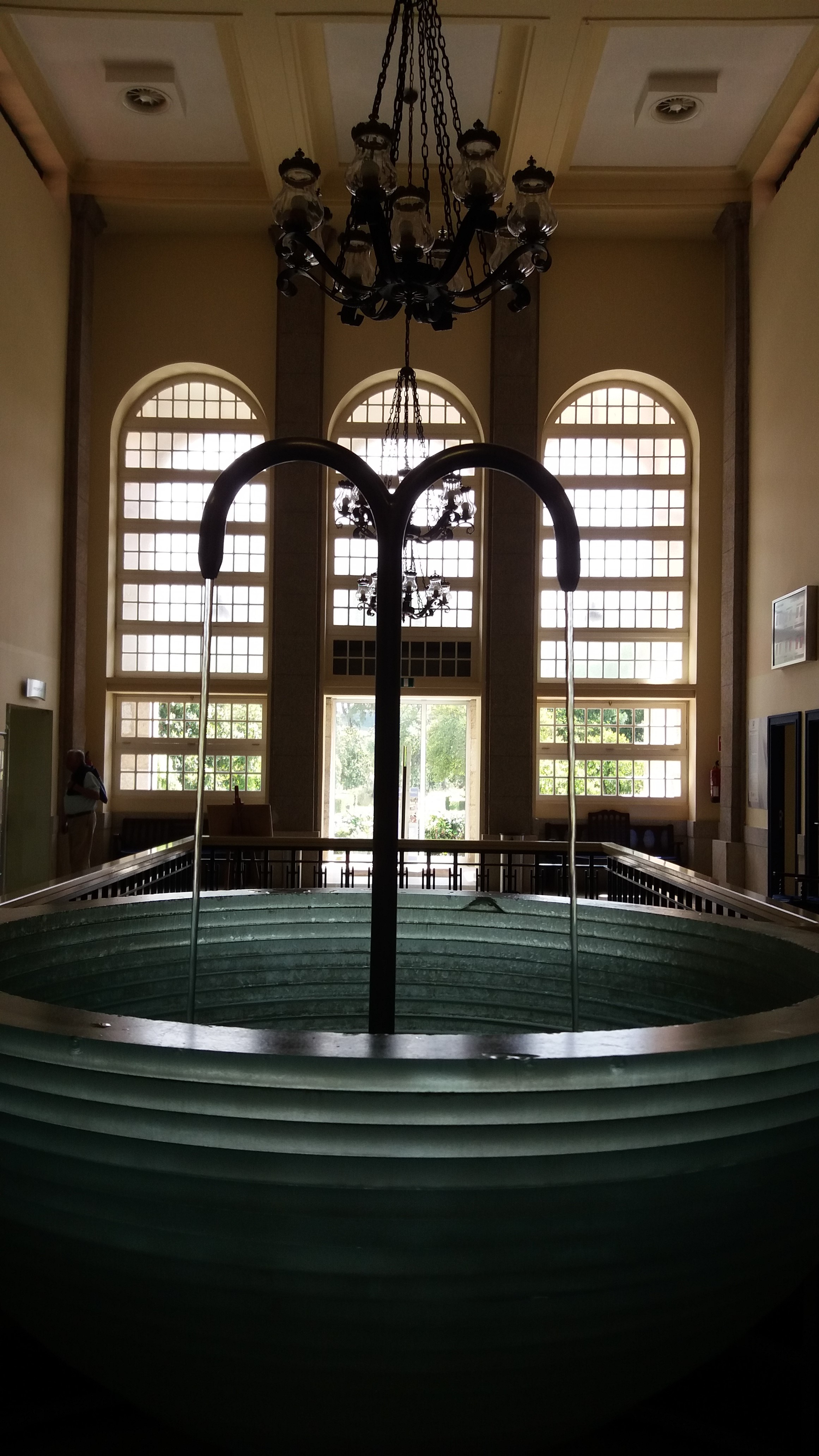
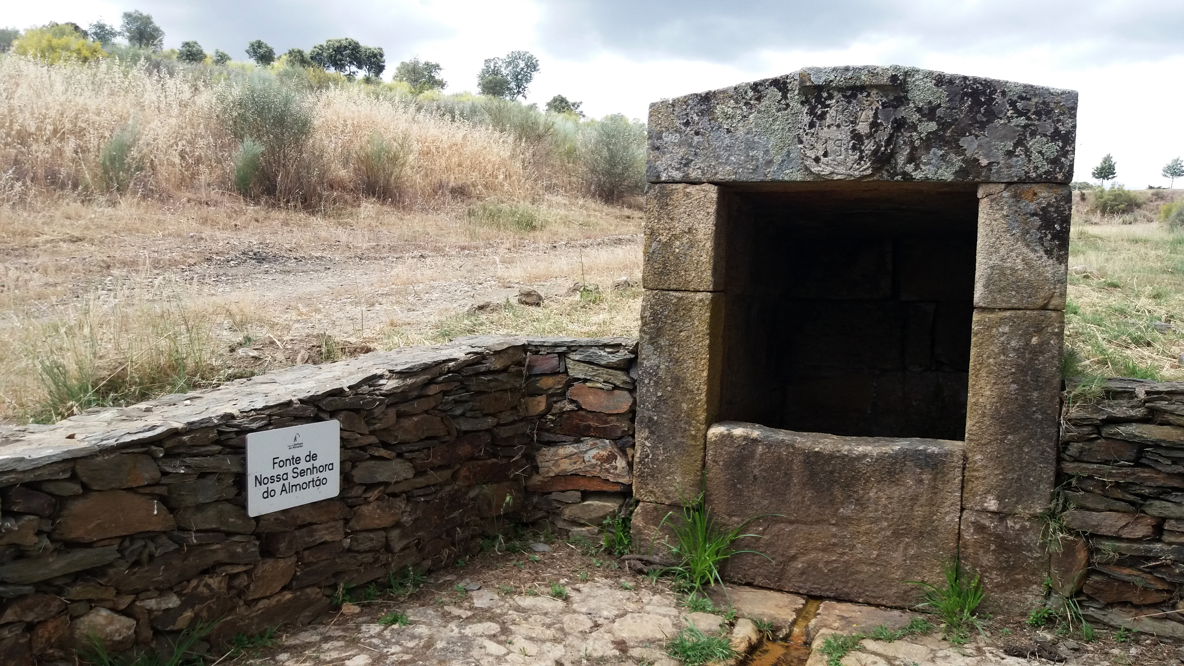
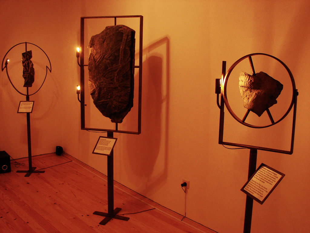
Museums and Geotourism Centers
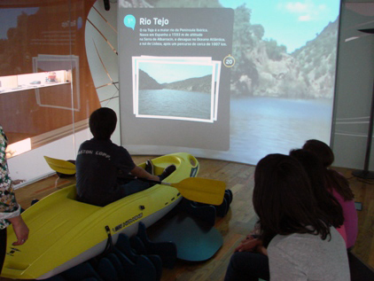
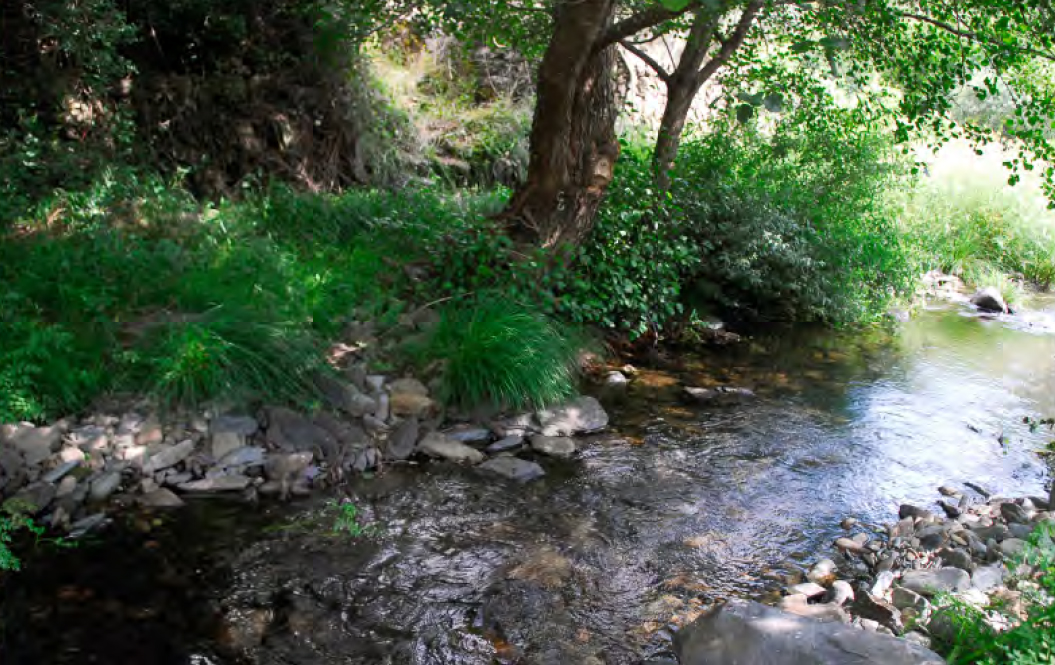
This is a space dedicated to the Parque Natural do Tejo Internacional, the natural reserve associated with the Tejo river, an area of acknowledged ornithology importance, where the steeped hills and the river’s drainage basin play a vital role to the preservation of the fauna. This is an interactive exhibition focusing on many aspects of the natural patrimony through interactive applications, where habitats, ecosystems, fauna, flora, geology and soils are discussed. It is also possible to study the geology of the Tejo and Erges rivers, exploring interactively their main structures and geological units.
Contacts
Rua da Bela Vista - 6000-458 Castelo Branco
Telephone: +351 272 346 068
Fax: +351 272 348 143
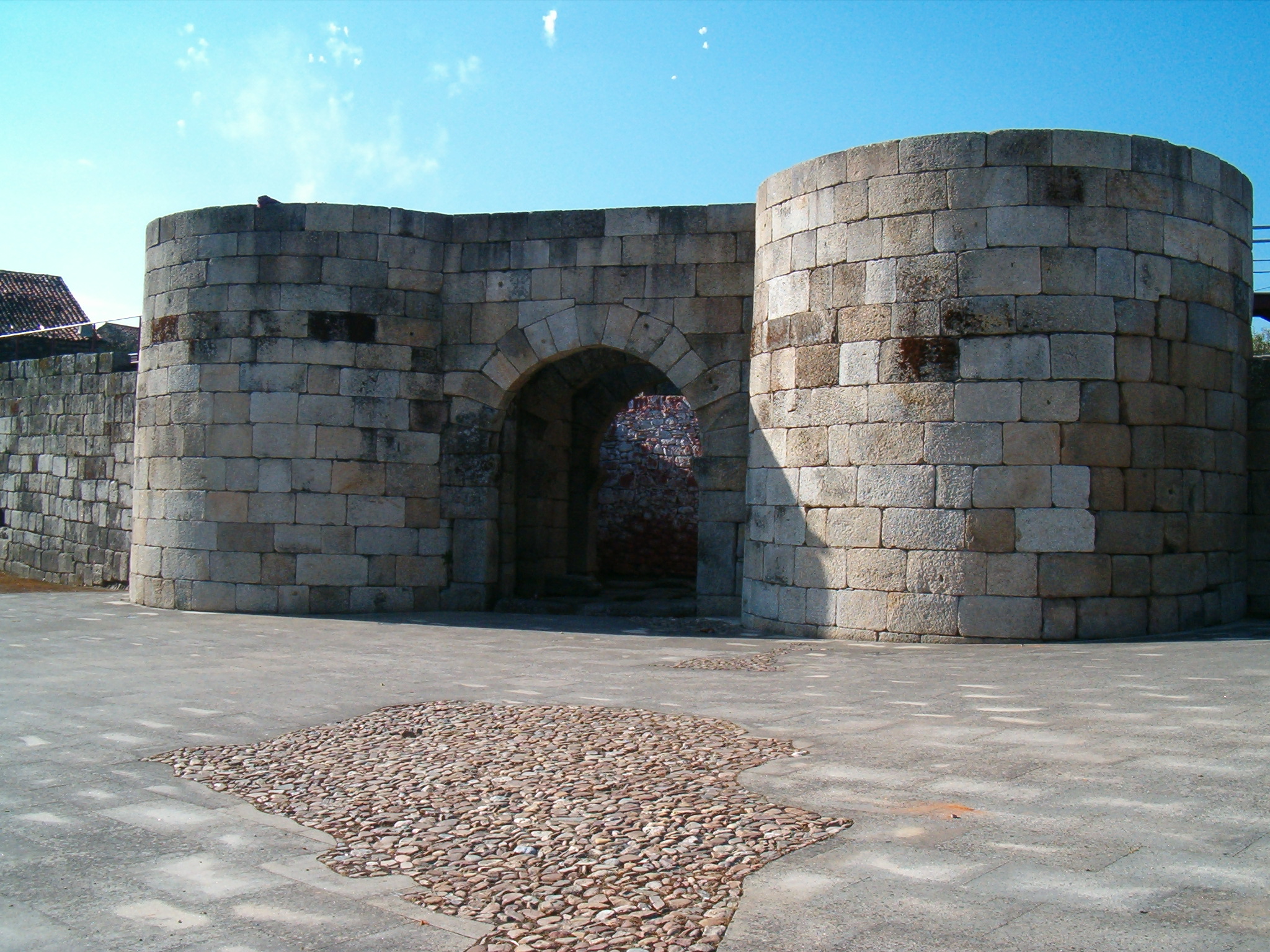
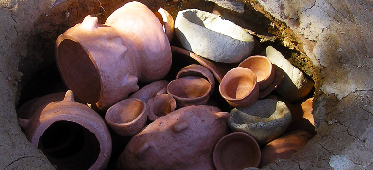
This museum offers its visitors an ancient and consistent history: an history made out of Cruziana and fossil trunks, ancient utensils and ceramic pots, cave paintings, cannon balls and reminiscent French invasions paintings.
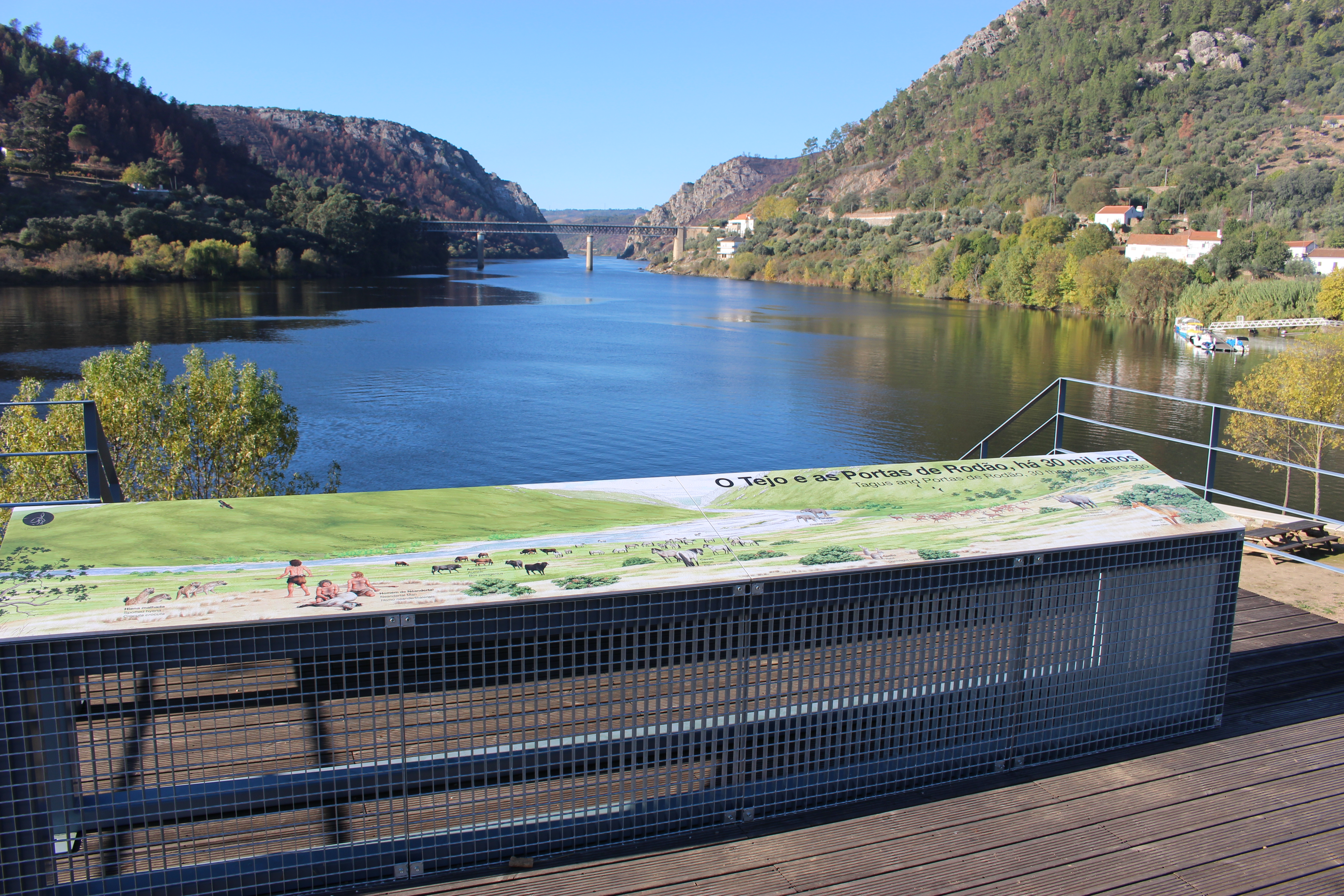
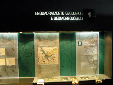
The exhibition is organized chronologically starting with a landscape section, where the geological and geomorfological framing of the region is presented. There is also a tridimensional model of Ródão’s morphology, one of the main formations within the Geopark. The successive periods of the history of this landscape and of the cultural history of this region are well presented in this tour, with a special highlight for the importance of prehistoric paintings.
Contacts
Largo do Pelourinho - 6030-230 Vila Velha de Ródão
Telephone: +351 272 540 308
Fax: +351 272 540 301
Email: cultura@cm-vvrodao.pt
Schedule:
Week days: 09h00 | 12h30 - 14h00 | 17h30
Saturdays: 15h00 | 18h30
Sundays and holidays: closed

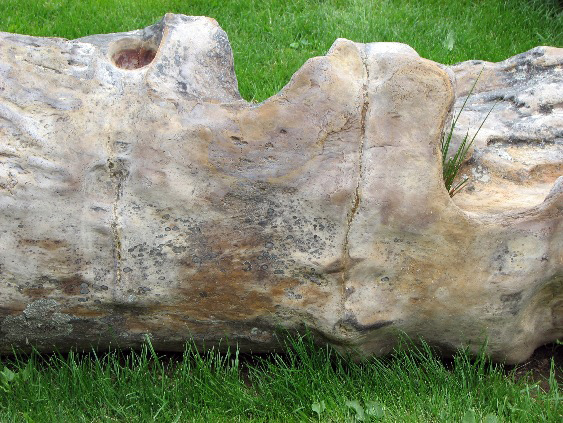
This museum has a permanent exhibition which is called “O Labor do Canteiro” or “The Stonemason’s Work”. This exhibition aims to illustrate the art stone carving, particularly the granite that characterizes this region. It focuses on the stone, the techniques and tools used to shape it, contextualizing them socially, historically and economically. The texture and constitution of these rocks are also approached through sensorial modules. This exhibition documents the practices and techniques which permit the carving and aesthetic decoration of the stone and tells the story of this craft’s evolution.
Contacts
Rua das Fontaínhas, 1. 6005-057 Alcains
Telephone: +351 272 900 220
Fax: +351 272 900 229
Email: museudocanteiro@sapo.pt
Website: http://museudocanteiro.blogspot.pt/
Schedule:
Week days: 09h30 | 12h30 - 14h00 | 17h30
Weekends: 14h30 | 18h30
Holidays: 09h30 | 17h30
Closed on Mondays
The Paleozoic Center, future museum, is located in old typical houses in the center of the village of Penha Garcia. Its exhibition entitled “The Trilobites’ world of Sam Gon III” presents this specimen of arthropods, which lived in during the Paleozoic, between 540 million and 240 million years ago, telling the geological story of this region and the planet, through the ichnological fossils of the Ponsul valley.
Contacts
Posto de Turismo de Penha Garcia
Rua do Espírito Santo - 6060 Penha Garcia
Telephone: +351 277 366 011 | +351 277 366 349
Documents Archive (in portuguese)

- Mining routes
- Terragaze – Geotourism Multimedia System

Landscape Museum
www.roteirodeminas.pt
Guide of the Portuguese Geological and Mines Sites.

Center of Portugal Tourism
Discover the best places to visit in the Center of Portugal.

Projeto ESTEAM
Meet the "Projeto ESTEAM - Enhancement of School Teaching Methods".
Geopark Naturtejo © 2024 All rights reserved
Créditos Fotográficos:
Pedro Martins
Stock Images of the Geopark Naturtejo
Developed by citricweb.pt